

Profile
Omaha Construction Drone Projects
Omaha Construction Drone Projects operates as a specialized aerial imaging service focused on construction documentation in Omaha, Nebraska. The service supports contractors, developers, and project managers who require reliable aerial data during the building process. By combining drone technology with experienced pilots, Omaha Construction Drone Projects helps construction teams monitor sites and track progress with greater accuracy.
The service works in connection with a nationwide network of drone professionals that provide aerial photography, video capture, and mapping analytics for construction companies. This network allows project managers to access high-quality drone imagery and data across multiple job sites. Construction firms benefit from consistent documentation that supports communication, planning, and project oversight. (Drone Brothers)
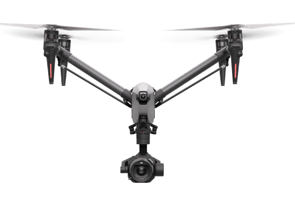
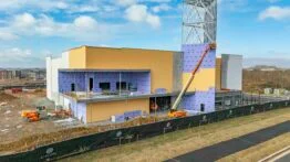
Drone technology allows the team to capture high-resolution images and videos from multiple angles across the job site. These aerial perspectives provide a clear understanding of site conditions and development progress. Construction professionals often rely on these visuals to monitor schedules and identify potential issues early.
Drone Imaging for Construction Monitoring
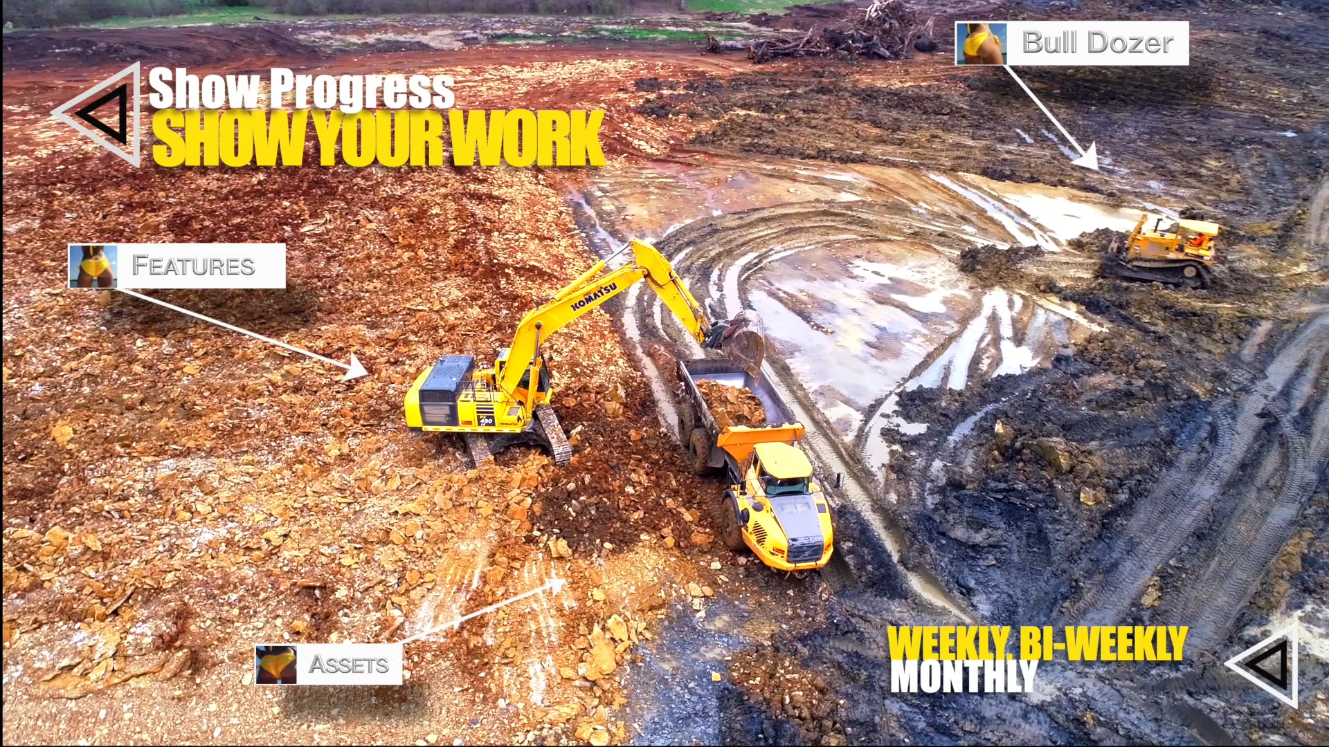
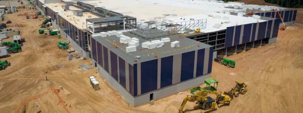
Omaha Construction Drone Projects focuses heavily on progress tracking for active construction sites. Regular aerial flights capture images that show how the project evolves over time. These visual records help contractors compare current conditions with original plans.
Project managers can review aerial images to track equipment placement, material staging, and structural development. Drone footage also helps stakeholders understand the scale of the project without visiting the site in person. Construction teams often use these visuals in meetings, reports, and investor presentations.
Drone imaging also improves safety oversight. Aerial views allow managers to identify potential hazards or workflow problems across the job site. This information allows teams to address risks before they disrupt the construction process. (Drone Brothers)
Accurate site documentation also proves valuable during dispute resolution. Date-stamped aerial imagery creates a clear record of conditions and project milestones. Contractors can reference these records if disagreements arise about timelines or work completion.
Mapping, Site Analysis, and Data Collection
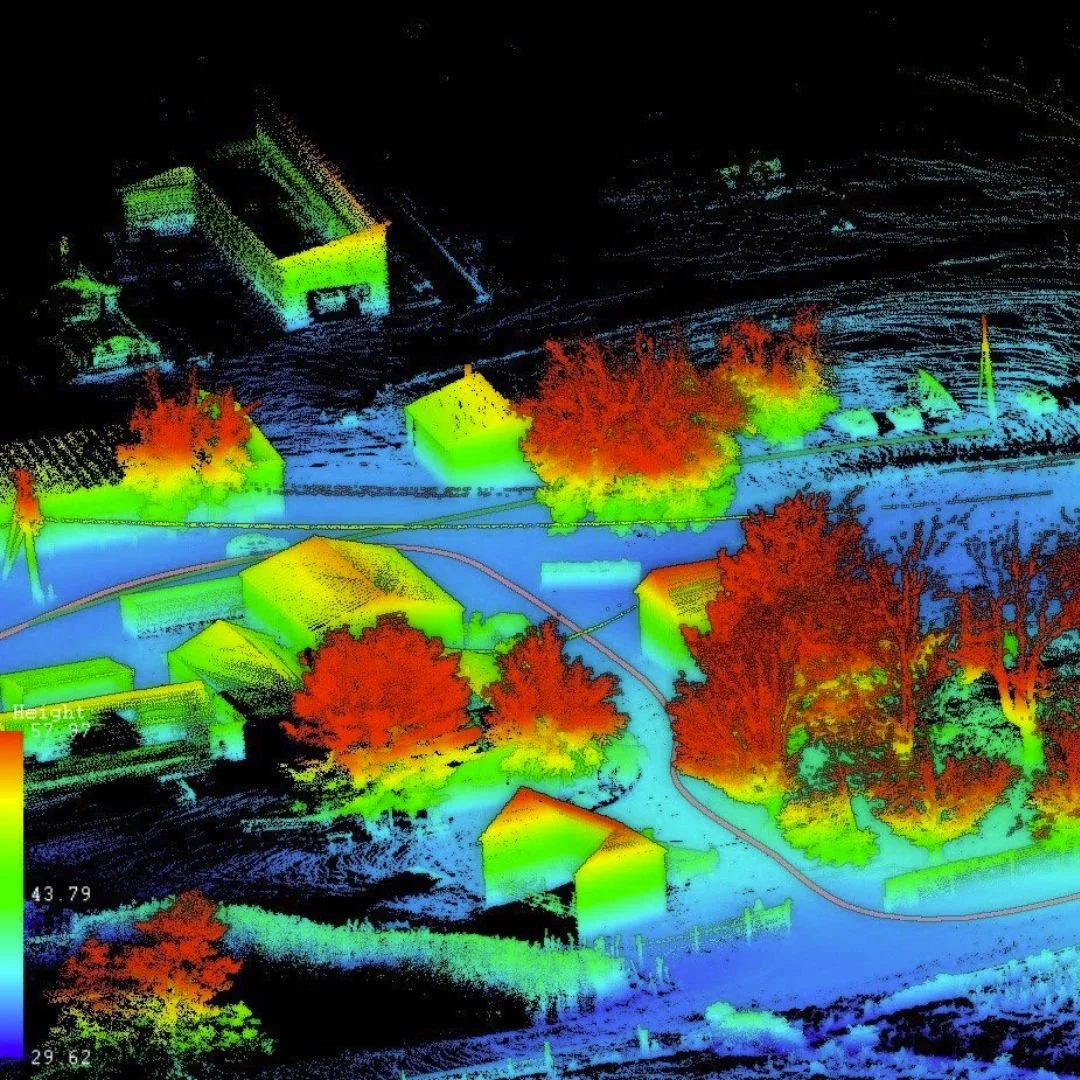
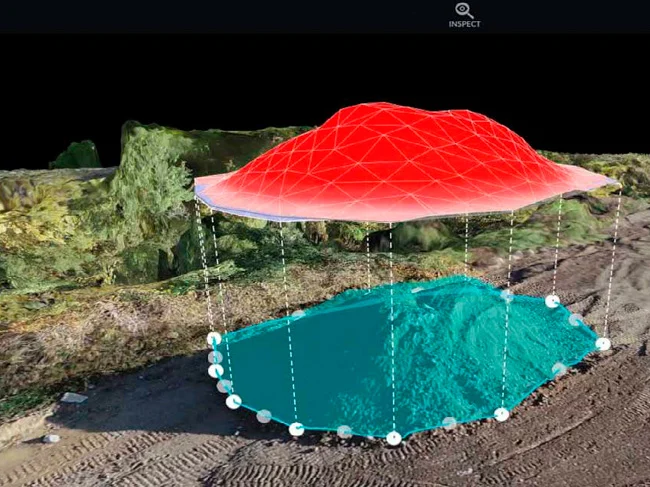
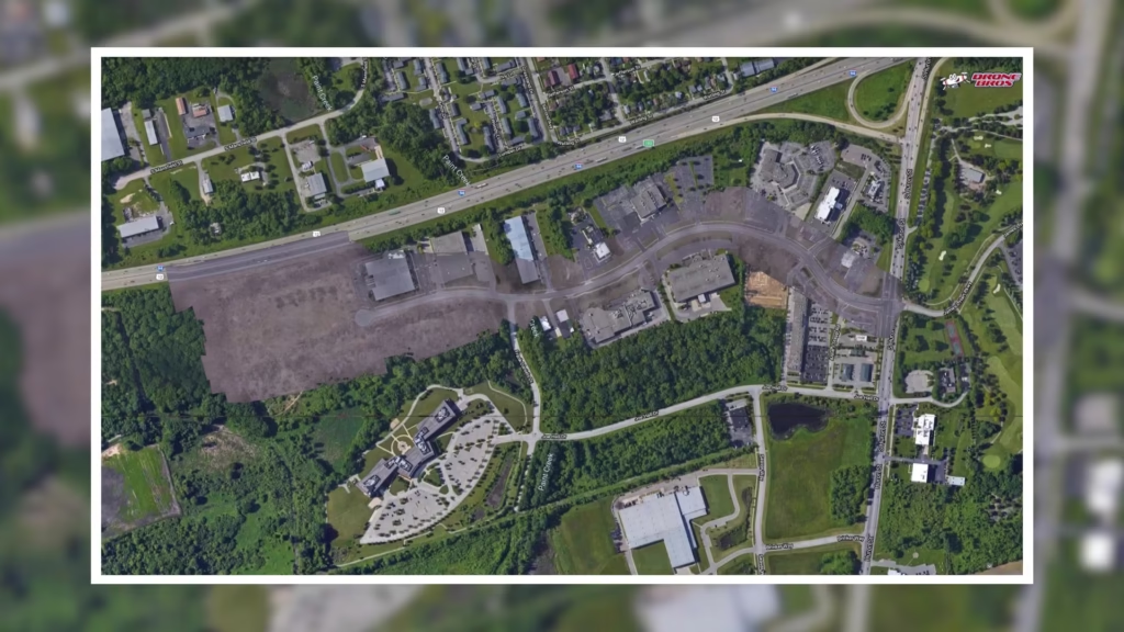
Omaha Construction Drone Projects also supports site analysis and mapping activities. Drone mapping technology can generate high-resolution orthomosaic maps and 3D models of construction sites. These models help engineers and planners evaluate terrain, elevation changes, and infrastructure layout.
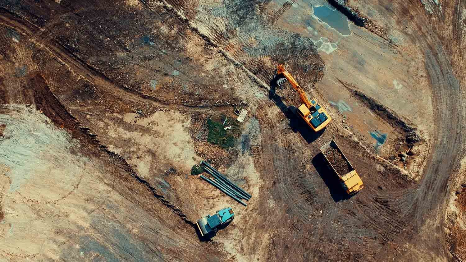
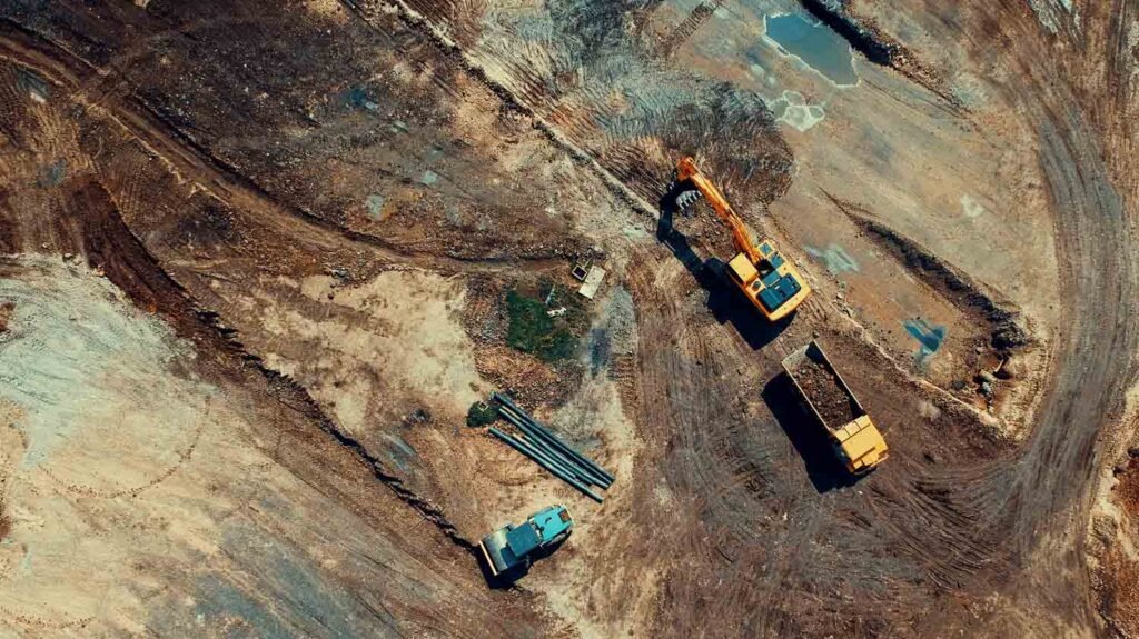
Construction teams often use drone data to measure stockpiles and calculate earthwork volumes. Accurate volumetric measurements help contractors manage materials and plan excavation work. This information improves cost estimates and reduces the risk of material shortages.
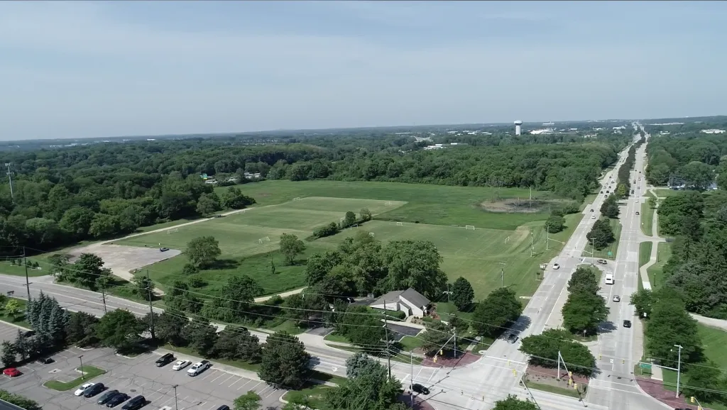
Drone mapping also supports early project planning and site selection. High-resolution aerial imagery provides detailed views of land features, vegetation, and surrounding infrastructure. These insights help developers evaluate potential job sites before construction begins. (Drone Brothers)
Some drone missions also capture interior footage for large construction projects. These indoor drone flights can document warehouse spaces, industrial facilities, or commercial buildings during later project stages. The resulting imagery helps teams track interior development and installation progress.
A Drone Service Supporting Modern Construction Projects
Omaha Construction Drone Projects helps construction teams work more efficiently through modern aerial technology. Drone imagery provides valuable insights that traditional site visits or ground photography often cannot capture. By delivering accurate aerial data, the service helps contractors make better decisions throughout the construction lifecycle.
The service supports many phases of construction, including site selection, project monitoring, inspections, and final documentation. These capabilities allow stakeholders to maintain clear visibility over large or complex job sites.
Construction teams interested in updates and industry insights can also explore the organization’s presence on
LinkedIn, where projects and company developments are often shared.
Through advanced aerial imaging and data collection, Omaha Construction Drone Projects helps builders document progress, manage risk, and maintain transparency across construction operations. The service continues to support construction professionals in Omaha with reliable drone-based project documentation and site analysis tools.
Map
Sorry, no records were found. Please adjust your search criteria and try again.
Sorry, unable to load the Maps API.