


Profile
AerialScope
AerialScope operates as a professional drone services company serving Stonington, Connecticut, and the surrounding New England region. The company provides aerial imaging, inspections, and mapping services that help businesses collect accurate data and visual documentation. Its team combines technical knowledge, aviation training, and inspection experience to deliver reliable results for clients in multiple industries.
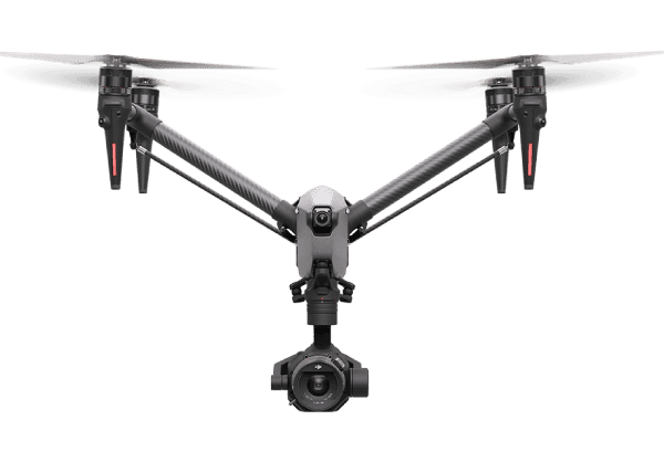
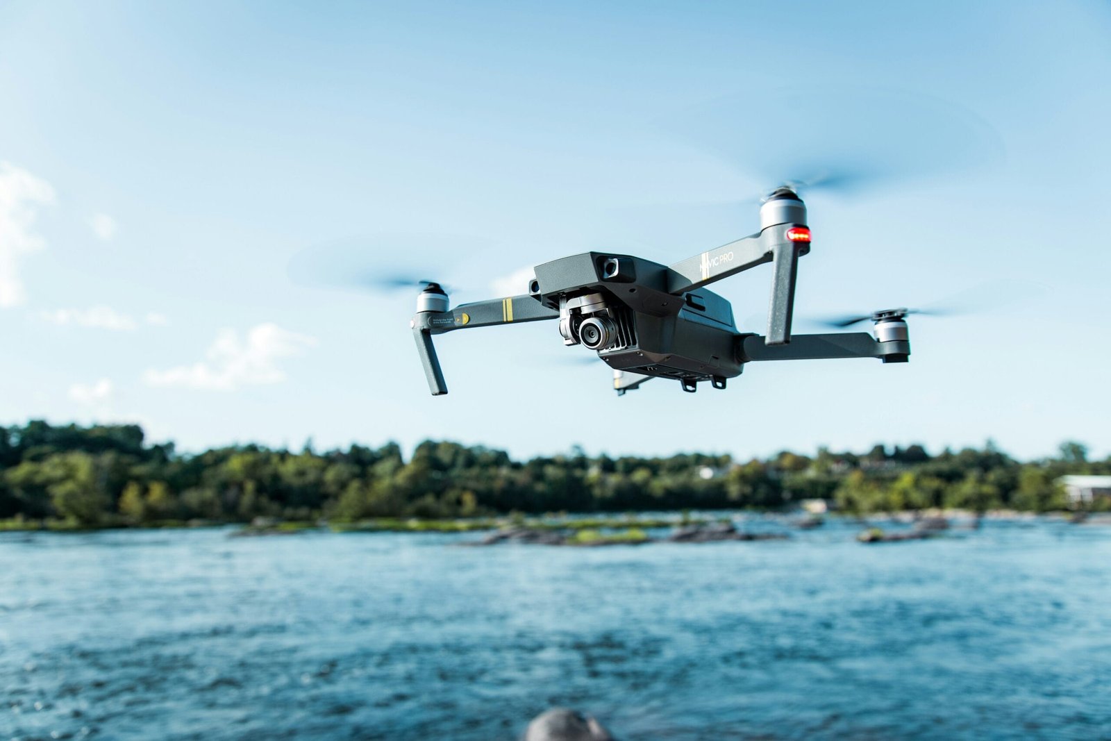
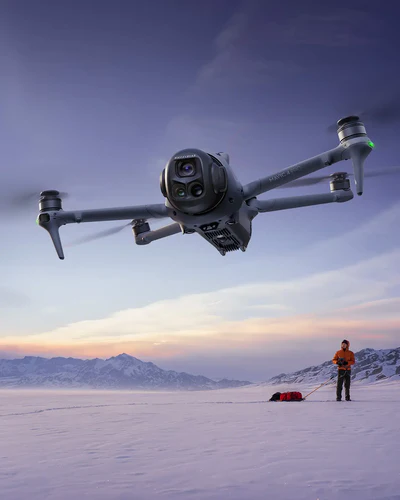
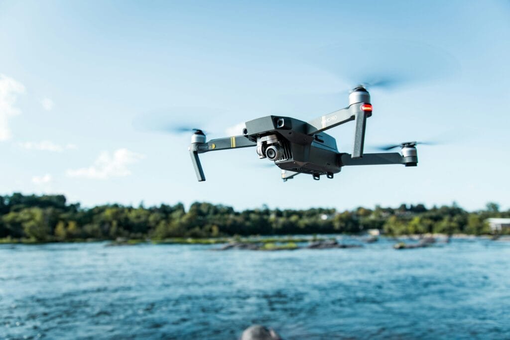
The company employs licensed and insured drone pilots who hold FAA Part 107 certification. This certification allows the team to conduct commercial drone operations safely and legally across a variety of project environments. The pilots emphasize safety, precision, and communication throughout every flight operation.
AerialScope also benefits from a team with diverse professional backgrounds. Experience in construction, property management, manufacturing, and inspections gives the company a practical understanding of client needs. These skills allow the team to deliver customized aerial solutions that support everyday business operations.
Drone Inspections and Aerial Data Solutions
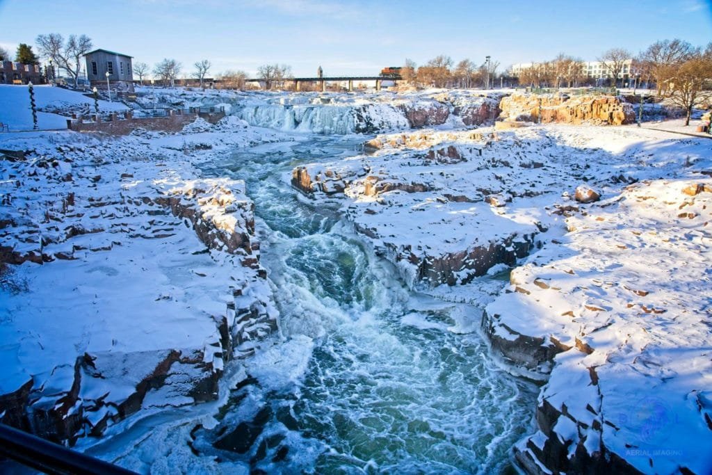
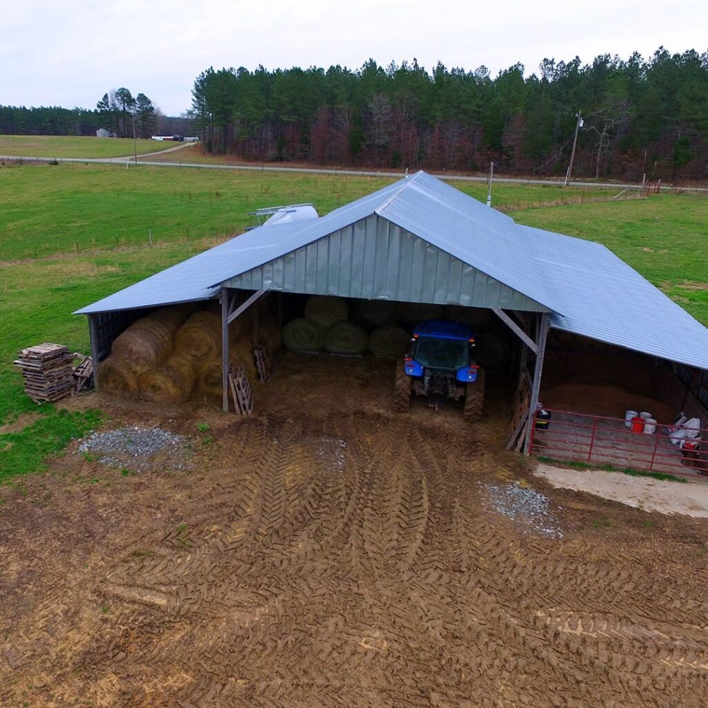
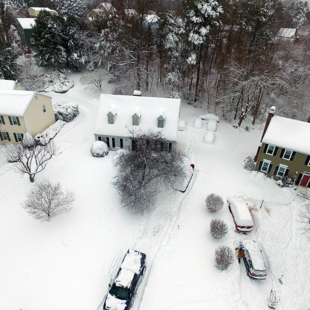
AerialScope provides detailed drone inspections for residential, commercial, and industrial structures. Drone technology allows inspectors to examine roofs, buildings, and equipment without using scaffolding or lifts. This approach improves safety while delivering high-resolution images and accurate data.
The company also performs thermal imaging inspections that identify hidden problems inside structures. Thermal cameras can reveal moisture intrusion, insulation gaps, and electrical issues that remain invisible during traditional inspections. Property owners and contractors use this information to detect problems before they become costly repairs.
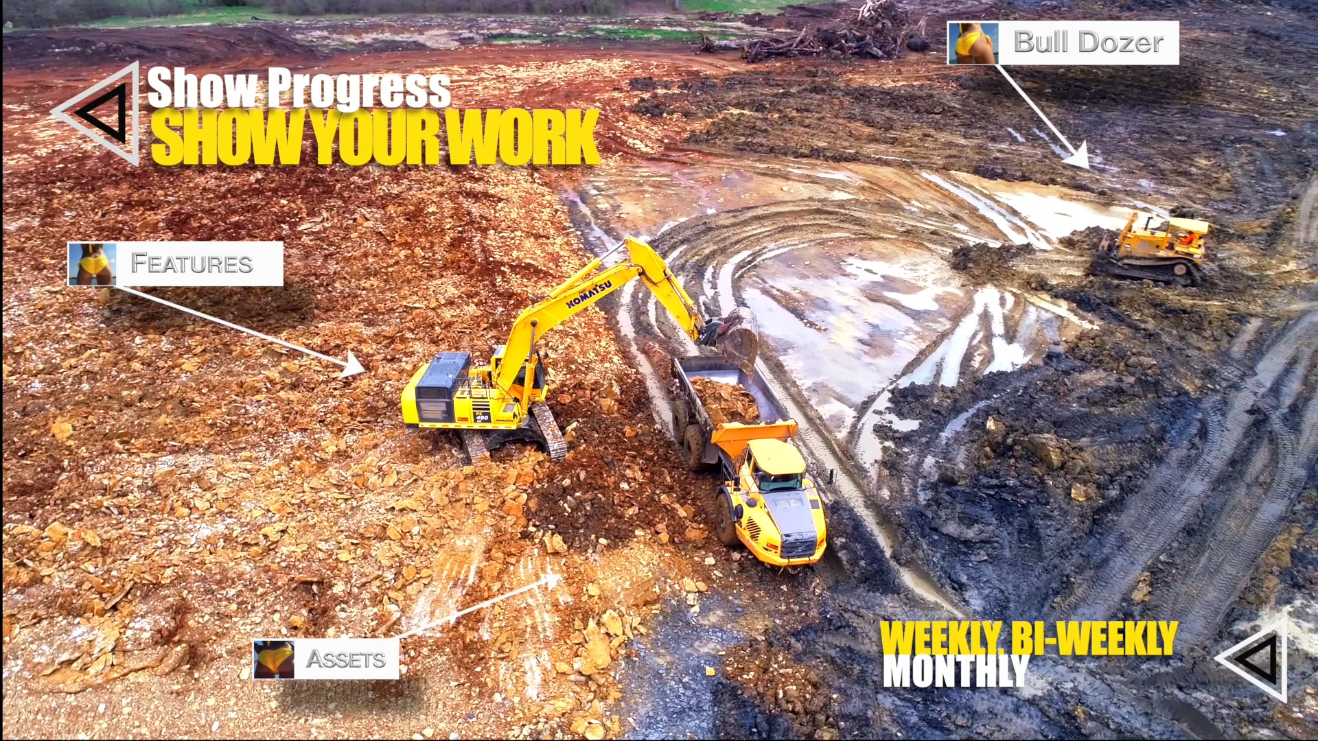
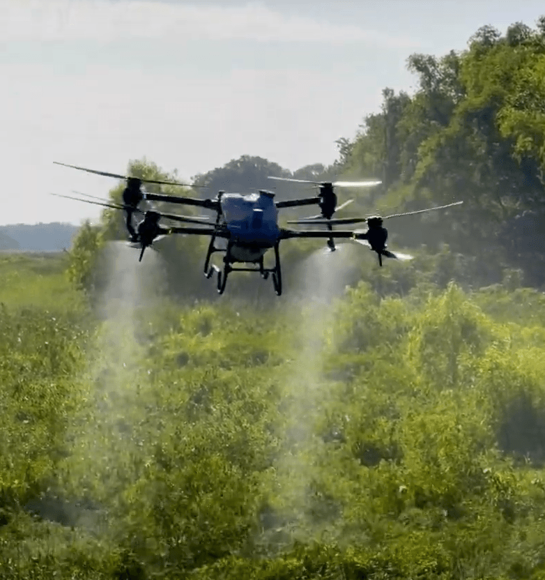
AerialScope supports construction and development projects with aerial documentation services. Drone flights capture progress images that help project managers track construction milestones and site changes. These images create a visual timeline that improves communication between contractors, developers, and stakeholders.
Readers who want to learn more about the federal regulations that govern commercial drone operations can review the
FAA Part 107 Small UAS Rule, which outlines licensing requirements and operational guidelines for commercial drone pilots.
Aerial Photography, Video, and 3D Modeling
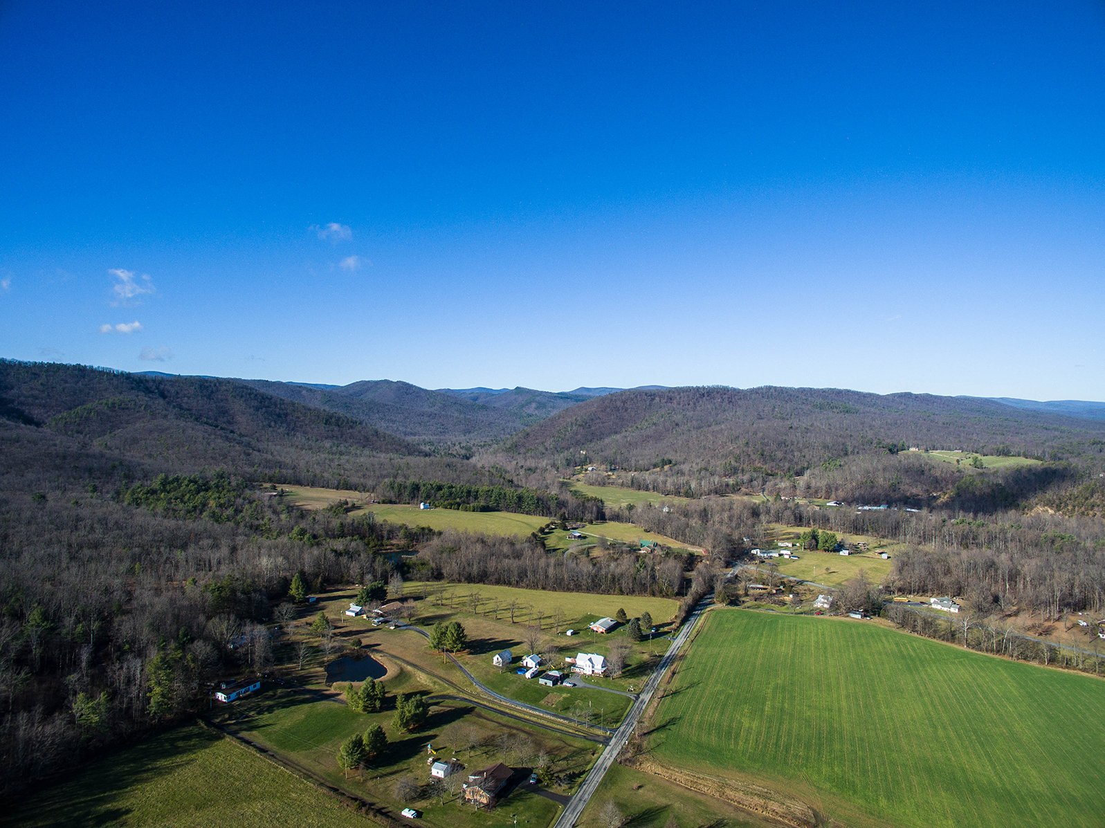
AerialScope also delivers professional drone photography and videography services for marketing and documentation projects. High-resolution aerial images highlight landscapes, properties, and facilities from perspectives that traditional photography cannot achieve. These visuals often strengthen marketing campaigns and promotional materials.
Real estate professionals frequently use drone photography to showcase properties and surrounding areas. Aerial images provide buyers with a clear understanding of property layout, nearby amenities, and neighborhood features. This visual context often improves the presentation of real estate listings.
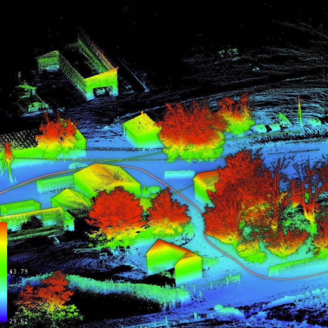
The company also produces detailed 3D models and orthomosaic maps using drone photogrammetry. These digital models allow engineers, surveyors, and developers to analyze terrain and site conditions more efficiently. Interactive models help professionals measure distances, evaluate elevations, and plan projects with greater confidence. (LinkedIn)
A Trusted Drone Service Provider in New England
AerialScope serves businesses throughout Connecticut and neighboring states with reliable drone services. The company focuses on delivering practical solutions that help organizations work smarter and operate more efficiently. Its team collaborates closely with each client to understand project goals and provide customized results.
The company’s commitment to safety, communication, and technical accuracy shapes every project it undertakes. By combining advanced drone technology with real-world industry knowledge, AerialScope helps clients capture valuable data and compelling aerial imagery. Through innovative aerial services and professional expertise, AerialScope continues to support construction teams, property owners, and businesses throughout the region.


Map
Sorry, no records were found. Please adjust your search criteria and try again.
Sorry, unable to load the Maps API.
Video
https://www.youtube.com/channel/UC8O-APhdh6Jp57Aaj9nzm-w/