Profile
Zephyr Drones LLC
Zephyr Drones LLC operates as a professional drone service provider based in Metairie, Louisiana. The company delivers advanced aerial data and imaging services for commercial clients across many industries. Since its founding in Southeast Louisiana in 2018, Zephyr Drones has focused on providing accurate aerial data that supports construction, engineering, infrastructure, and property management projects.
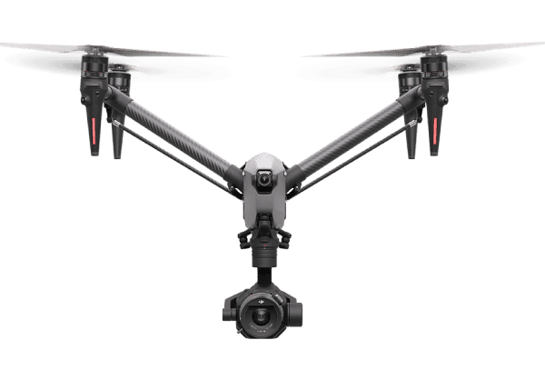
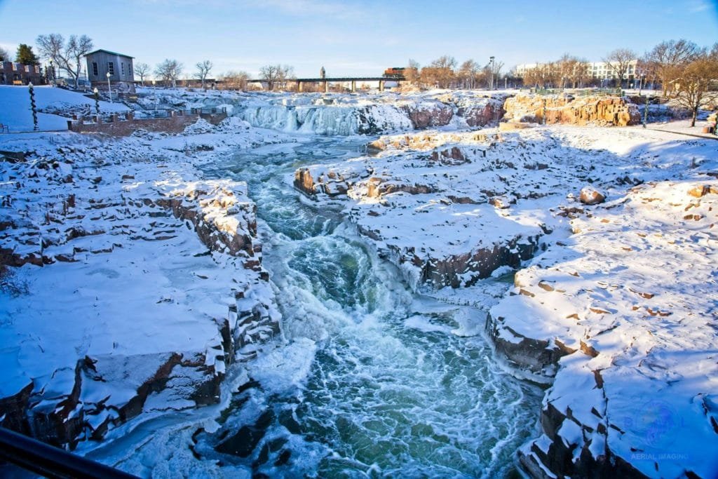
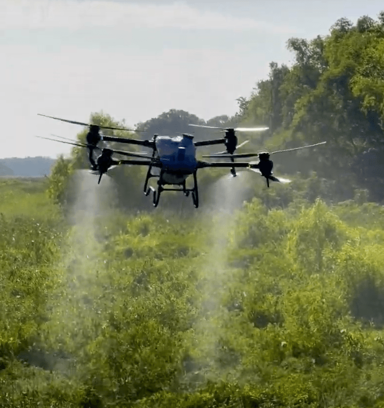
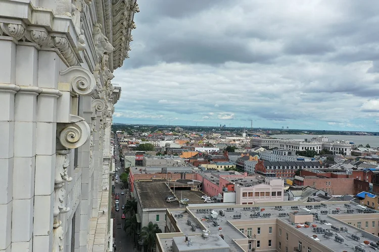
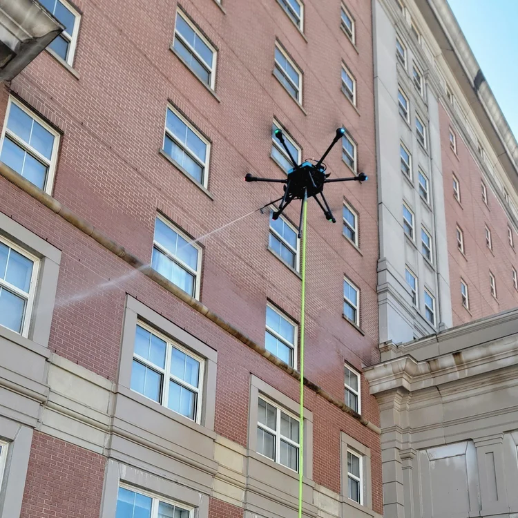
The company combines modern drone technology with experienced operators to capture detailed information from difficult or hazardous locations. Drones allow the team to document rooftops, towers, wetlands, and other areas that traditional equipment struggles to access. These capabilities help clients gather valuable information without using expensive lifts or manned aircraft.
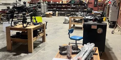
Zephyr Drones emphasizes collaboration with clients throughout each project. The company relies on an internal team instead of outsourcing projects to outside pilots. This approach allows the team to maintain consistent quality and provide dependable service for every assignment.
Aerial Inspections and Structural Diagnostics
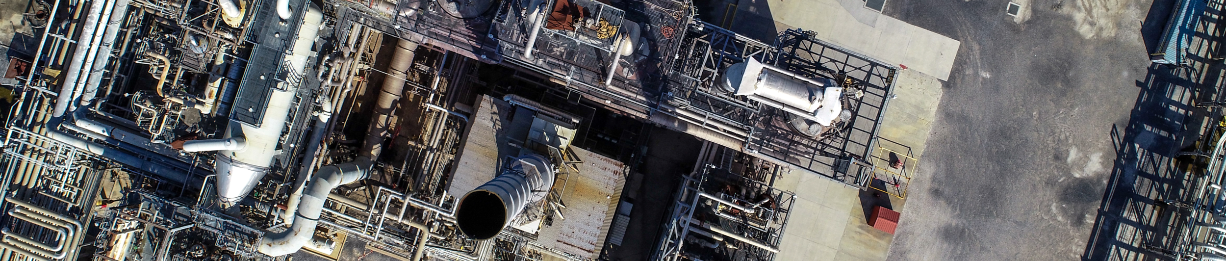
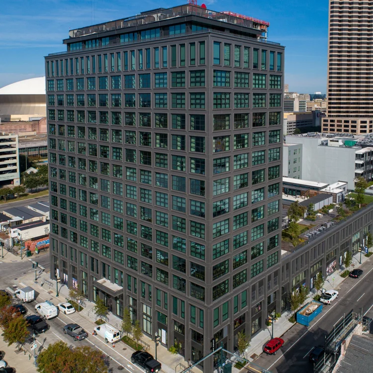
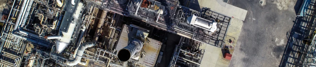
Zephyr Drones LLC provides aerial inspection services for commercial buildings, industrial facilities, and infrastructure assets. High-resolution drone imagery helps identify issues that may affect structural performance or long-term maintenance. Inspectors can evaluate roofs, building facades, and mechanical systems without climbing structures or using scaffolding.
Thermal imaging and advanced sensor technology allow the team to detect hidden problems in building envelopes. These inspections reveal moisture intrusion, insulation failures, and other conditions that require attention. Early detection allows property managers to address issues before they cause serious damage.
The company also supports roofing contractors by documenting roof conditions and generating accurate measurements. Drone imagery provides details about slope, square footage, and surrounding structures. Contractors use this information to plan projects, estimate materials, and reduce job site risks.
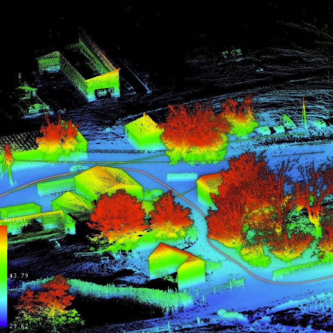
3D Mapping, Laser Scanning, and Project Documentation
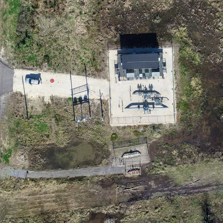
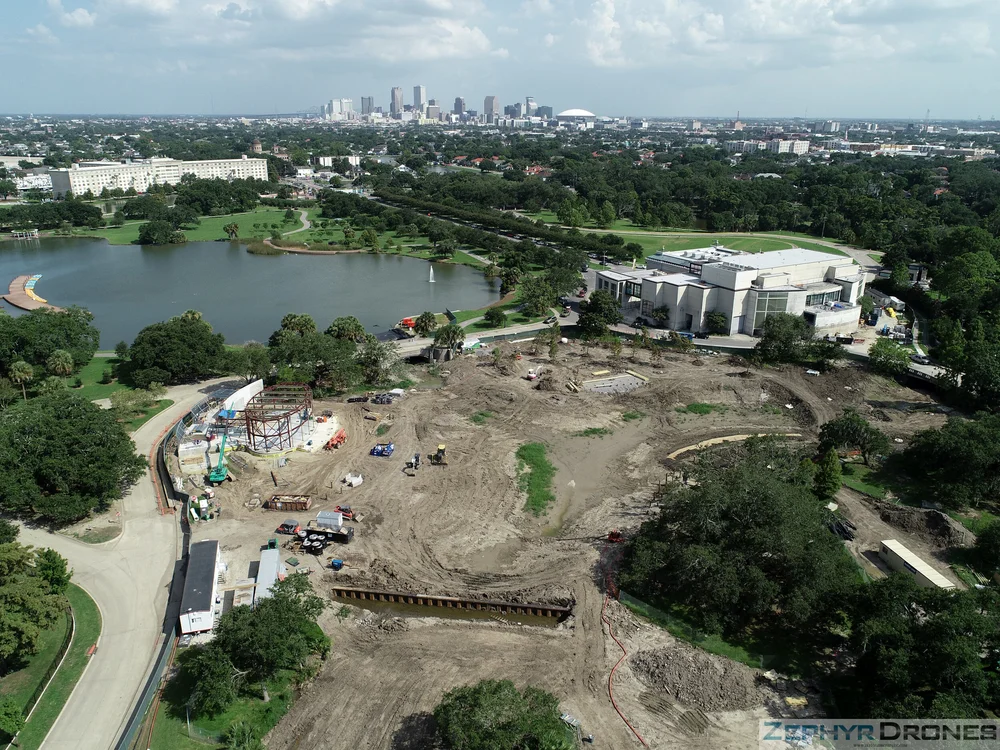
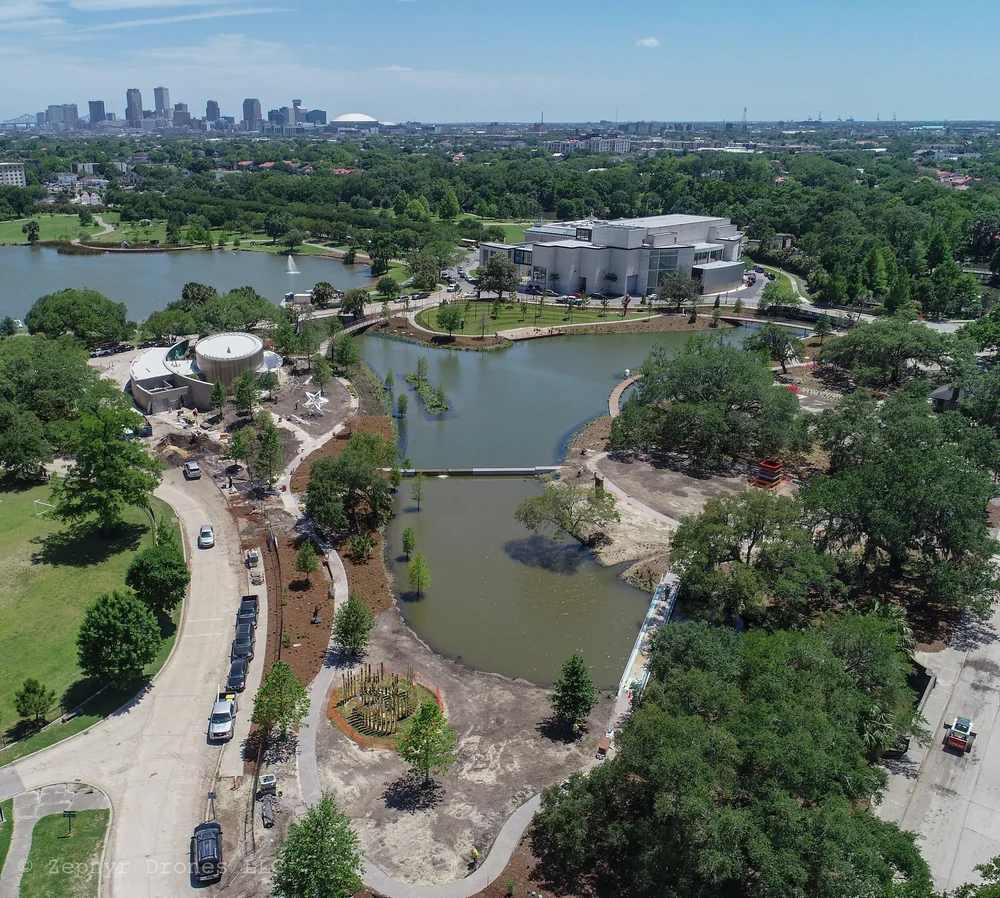
Zephyr Drones also specializes in aerial mapping and three-dimensional data collection. The company uses drone photogrammetry and laser scanning tools to generate detailed 3D models and orthomosaic maps. These digital models help engineers, architects, and project managers visualize complex project sites.
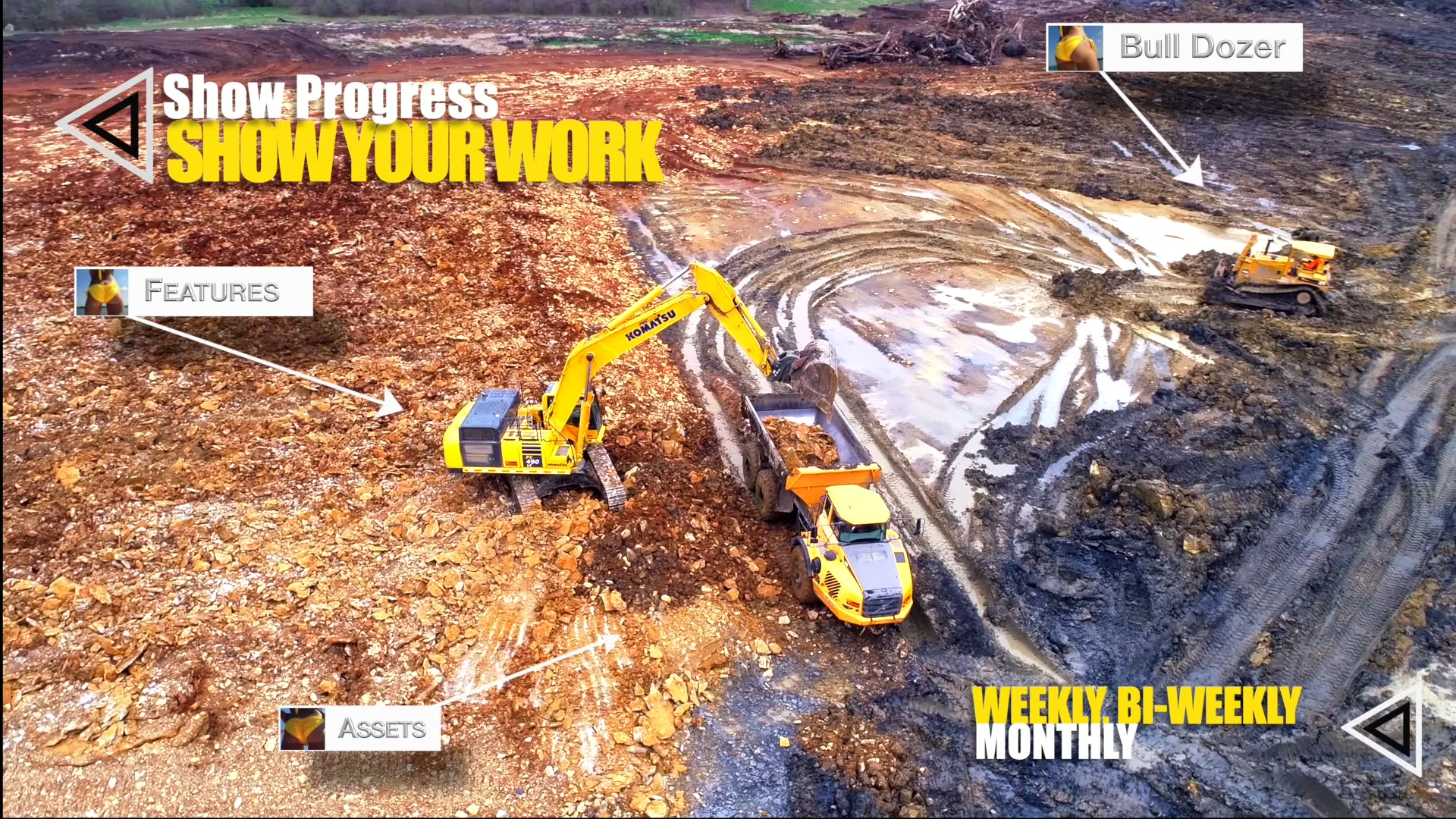
Project teams use this aerial data to monitor construction progress and track site development over time. Zephyr Drones can document an entire job site repeatedly during a project lifecycle. This documentation creates a visual timeline that helps stakeholders understand changes across each stage of development.
Interactive web-based platforms allow clients to review imagery, measurements, and annotations from any location. Teams can measure distances, analyze volumes, and identify potential issues directly within the mapped environment. These tools improve communication between contractors, engineers, and project owners.
A Dedicated Drone Data Partner for Commercial Projects
Zephyr Drones LLC serves a wide range of industries including architecture, engineering, construction, telecommunications, and commercial property management. The company focuses on delivering reliable aerial data that supports planning, inspection, and risk management.
The team has completed hundreds of aerial missions across varied environments and weather conditions. Their experience allows them to capture detailed information even in complex or remote locations. This flexibility helps clients obtain critical project data while maintaining safe working conditions.
Zephyr Drones continues to expand its services as drone technology evolves. The company remains committed to providing accurate aerial documentation and practical solutions for complex commercial projects. Through innovation and hands-on expertise, Zephyr Drones LLC helps organizations collect the data they need to plan, manage, and protect valuable assets.
Map
Sorry, no records were found. Please adjust your search criteria and try again.
Sorry, unable to load the Maps API.