Profile
Midsouth Drone Services
Midsouth Drone Services operates as a professional aerial data and drone mapping company based in Southaven, Mississippi. The company focuses on delivering accurate drone data, mapping products, and aerial imagery for construction, engineering, and development projects. By combining advanced drone technology with practical field experience, Midsouth Drone Services provides valuable information that helps clients make better decisions and manage projects more efficiently.
The company places strong emphasis on accuracy, efficiency, and usable data. Its team captures aerial imagery and mapping data that integrates easily into professional workflows. Builders, developers, engineers, and land professionals often rely on this information to monitor projects and evaluate site conditions.
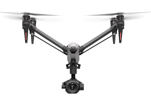
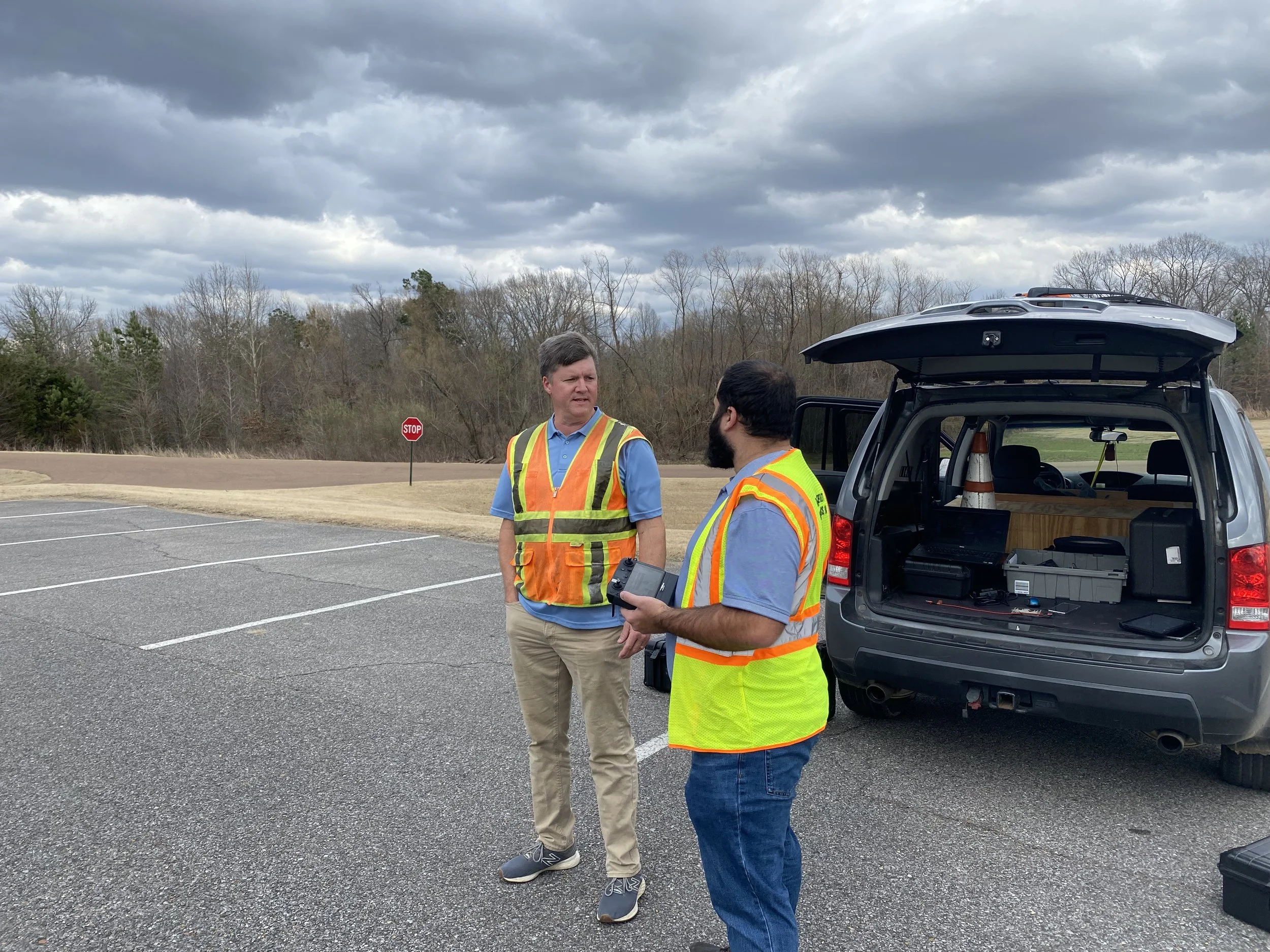
Midsouth Drone Services operates with FAA Part 107 certification and professional flight experience. The company uses advanced drone systems to collect high-resolution imagery and detailed mapping data across the Mid-South region. These tools allow the team to produce practical deliverables that support surveying, construction planning, and infrastructure analysis.
Advanced Drone Mapping and LiDAR Data
Drone mapping forms the foundation of Midsouth Drone Services’ work. The company provides detailed aerial maps and spatial data for surveyors, engineers, and project managers. These mapping services include orthomosaic maps, digital surface models, and three-dimensional models of project sites.
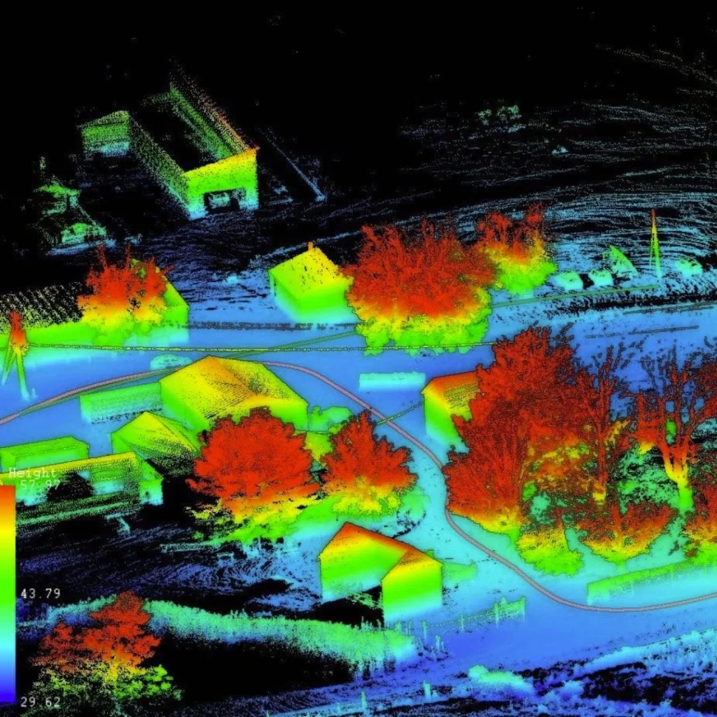
The team also specializes in LiDAR mapping and point cloud data collection. LiDAR technology captures precise elevation and terrain information that traditional aerial photography cannot always provide. This data helps professionals analyze land conditions, plan construction projects, and manage development sites more effectively.
Midsouth Drone Services delivers mapping data in formats compatible with CAD and engineering software. Clients can quickly integrate the results into existing design and planning systems. This workflow improves efficiency and reduces the time required for field measurements and site analysis.
Construction Monitoring and Volume Measurements
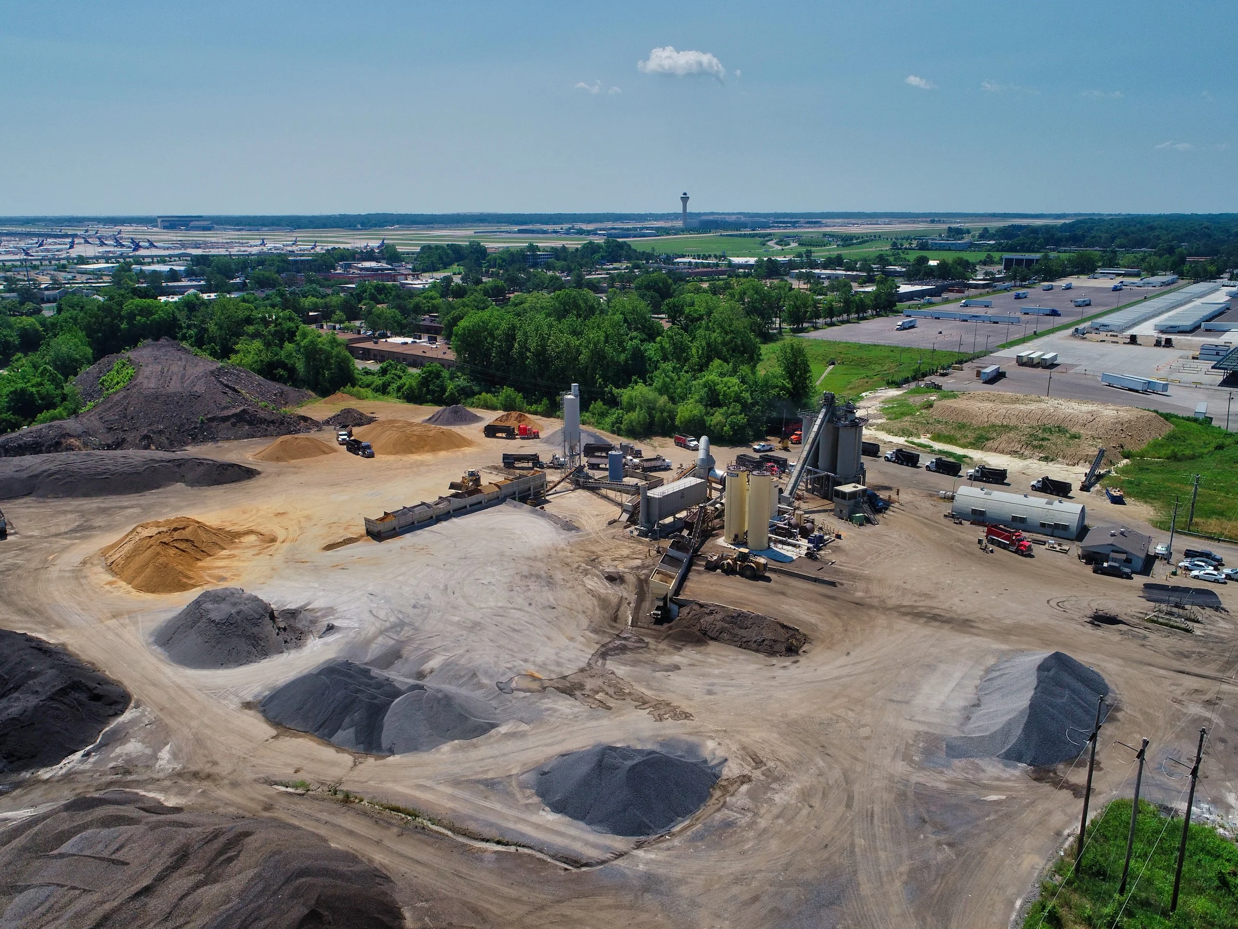
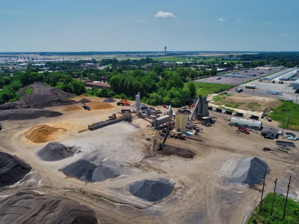
Construction companies often depend on drone imagery to monitor job site progress. Midsouth Drone Services provides aerial progress documentation that helps project teams track development stages and identify potential issues early. These images allow investors, architects, and stakeholders to review projects remotely and stay informed about construction progress.
The company also performs inventory and volume measurement services for construction materials. Drone mapping technology can calculate accurate aggregate volumes on development sites. Contractors use this information to monitor materials delivered, removed, or stored during construction operations.
These measurements improve project management and reduce uncertainty during large development projects. Accurate data also helps companies control costs and maintain proper inventory levels across job sites.
A Drone Data Provider Focused on Accuracy and Experience
Midsouth Drone Services draws on decades of combined experience in aviation, photography, and aerial imaging. Founder Tim Durham developed a passion for flying and photography early in life, which later shaped the company’s focus on professional drone data services.
The company’s mission centers on delivering meaningful aerial data that clients can use with confidence. Each project reflects a commitment to accuracy, reliability, and professional service. Through modern drone technology and industry knowledge, Midsouth Drone Services continues to support businesses throughout the Mid-South region with dependable aerial mapping and imagery solutions.

Map
Sorry, no records were found. Please adjust your search criteria and try again.
Sorry, unable to load the Maps API.