

Profile
KC Drone Works
KC Drone Works operates as a professional aerial imaging and drone data company based in Pleasant Hill, Missouri. The company provides aerial photography, mapping, and construction documentation services for clients across the Kansas City region and beyond. By combining modern drone technology with experienced operators, KC Drone Works delivers visual content and data that help organizations better understand project sites and property conditions.
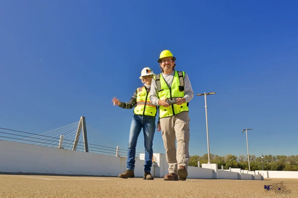
The company brings more than a decade of experience to the drone industry. Its team works with construction firms, real estate professionals, agricultural operators, and marketing teams that require high-quality aerial imagery. KC Drone Works also maintains a mobile service model that allows the team to support projects locally and across the United States when needed.
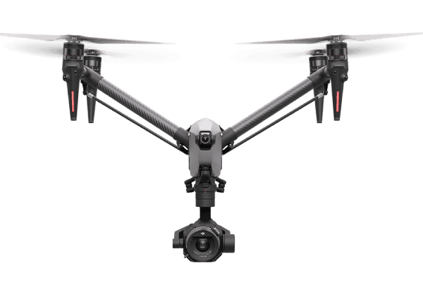
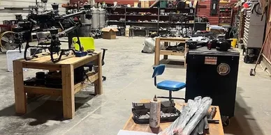
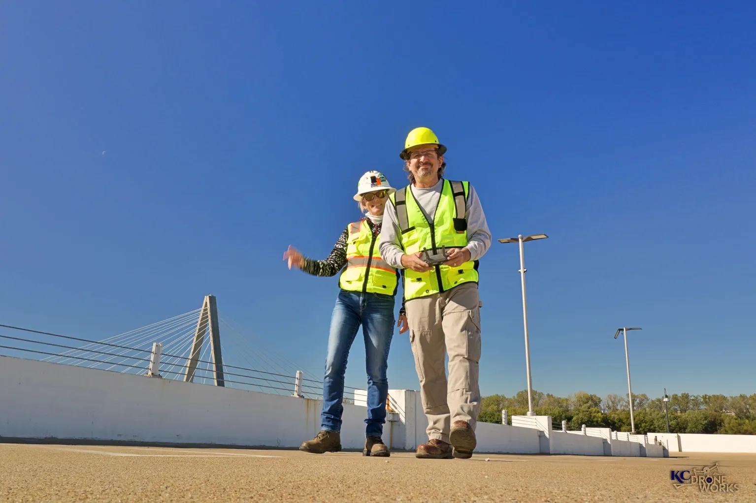
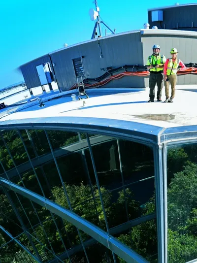
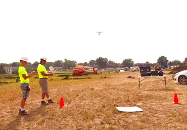
KC Drone Works uses professional drones, cameras, sensors, and safety equipment during each flight mission. This equipment allows the team to capture accurate aerial images, video footage, and mapping data. The company also maintains full insurance coverage and safety certifications to ensure responsible commercial drone operations.
Construction Monitoring and Aerial Data Collection
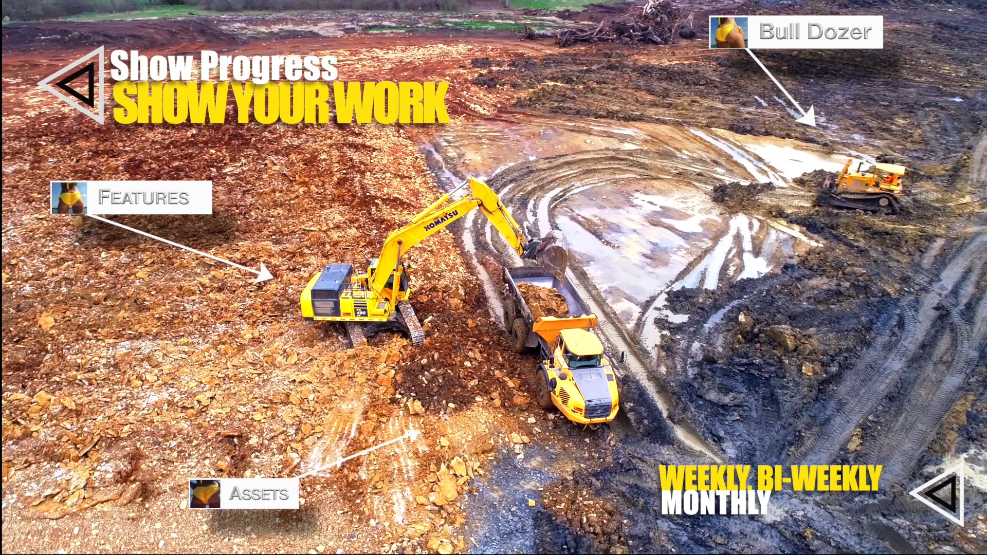
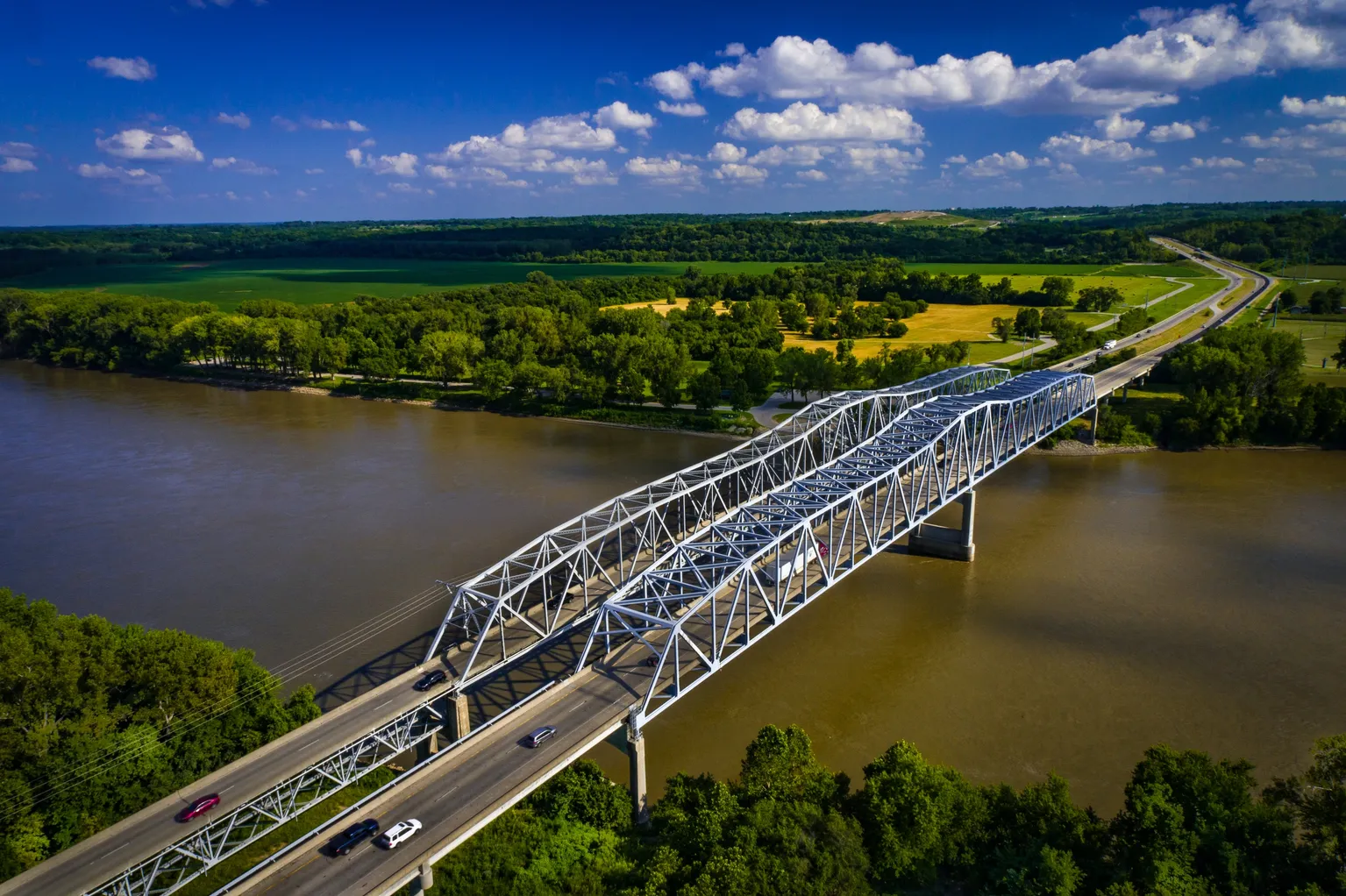
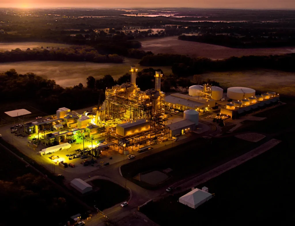
KC Drone Works specializes in drone services for construction and development projects. The company captures aerial images that document project progress from start to completion. Contractors and project managers use these images to track construction milestones and maintain detailed visual records.
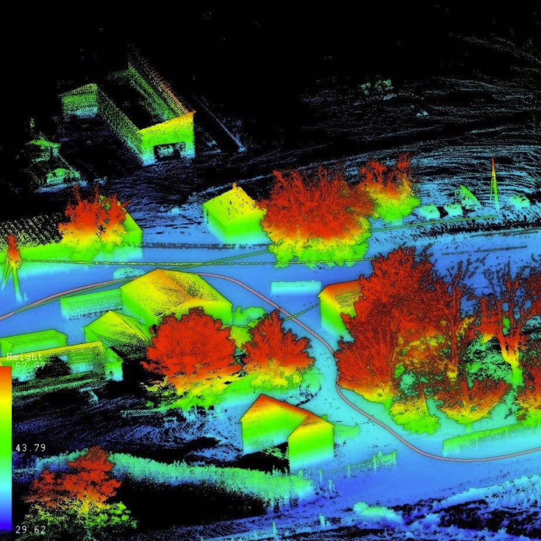
Drone technology allows the team to collect orthomosaic maps and survey-style imagery of large construction sites. These maps provide detailed views of terrain, structures, and infrastructure development. Engineers and developers often use this information when evaluating site conditions and planning project phases.
KC Drone Works can also deliver aerial progress data quickly after completing a flight mission. In many cases, clients receive updated images within 24 hours of capture. Some projects even allow for real-time viewing through remote monitoring systems during flight operations.
These capabilities help project teams make informed decisions and maintain clear communication with investors and stakeholders.
Aerial Photography, Video, and Mapping Services
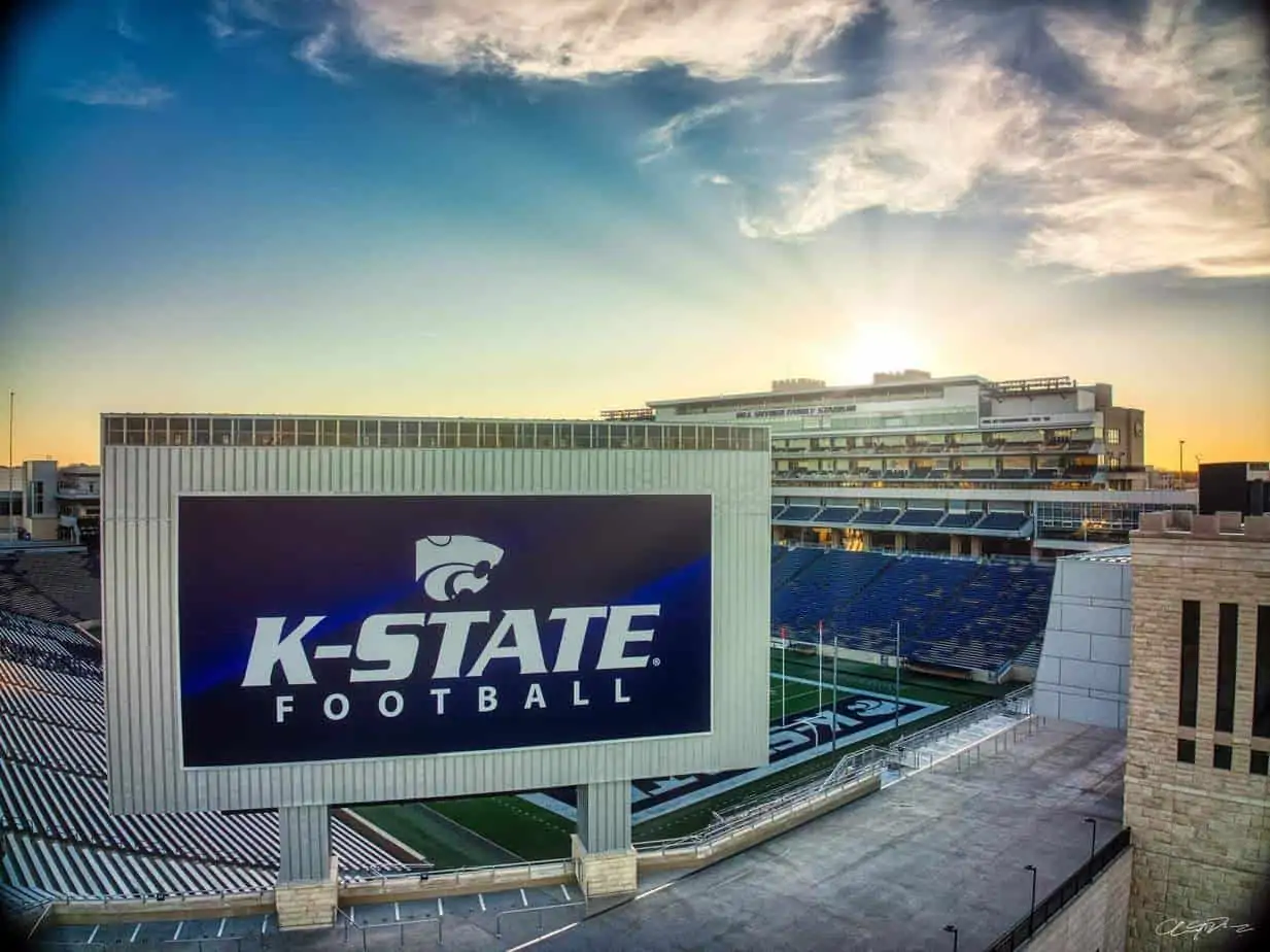
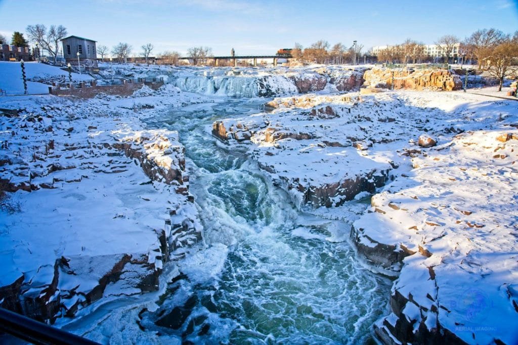
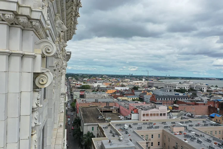
KC Drone Works also produces high-resolution aerial photography and cinematic video content. Businesses often use this imagery for marketing campaigns, promotional materials, and real estate listings. Aerial footage provides dramatic perspectives that traditional photography cannot easily capture.
The company also offers photogrammetry mapping and digital twin data services. These technologies allow professionals to create detailed 3D models of properties and construction sites. Engineers, surveyors, and developers use these digital models to analyze terrain, measure distances, and review site conditions.
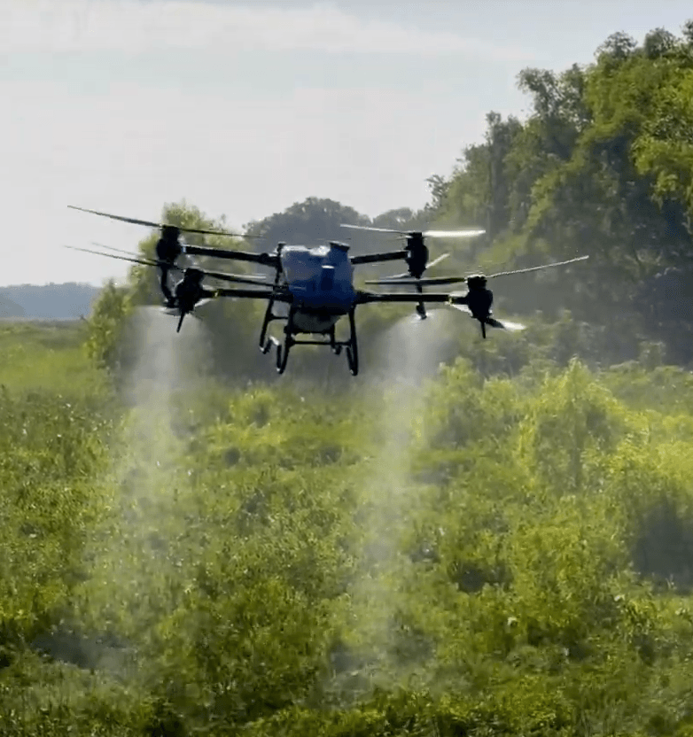
KC Drone Works also supports agriculture, property marketing, and promotional advertising projects. The team captures aerial footage that highlights landscapes, infrastructure, and large commercial properties. These visuals often strengthen marketing presentations and public communications.
A Kansas City Drone Service Focused on Practical Results
KC Drone Works continues to serve clients throughout Pleasant Hill, Kansas City, and the surrounding Midwest region. The company focuses on delivering “content and data that works” for real-world business applications.
Clients rely on the company’s technical knowledge, aviation experience, and attention to detail. Each project receives careful planning so aerial data supports the client’s operational goals.
People interested in viewing recent aerial photography and project updates can explore the company’s social presence on
Facebook, where examples of drone imagery and service updates appear regularly. (Facebook)
Through advanced drone technology and professional flight operations, KC Drone Works helps businesses capture valuable aerial data and compelling visual content. The company continues to support construction teams, property managers, and businesses that need reliable aerial imaging and mapping solutions.


Map
Sorry, no records were found. Please adjust your search criteria and try again.
Sorry, unable to load the Maps API.