

Profile
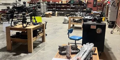
Total Drone Solutions
Total Drone Solutions operates as a professional drone services company based in Union, Nebraska. The company provides aerial photography, mapping, and data collection services for businesses that require accurate visual information. By combining modern drone technology with experienced pilots, Total Drone Solutions delivers aerial perspectives that support planning, documentation, and marketing.
The company focuses on practical drone applications that improve efficiency and reduce project costs. Drones allow the team to collect detailed aerial data without using traditional aircraft or expensive ground equipment. Clients benefit from fast turnaround times and reliable aerial imagery that supports real-world decision making.
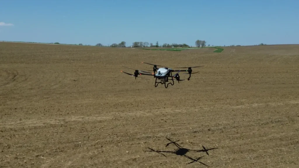
Total Drone Solutions serves industries such as construction, agriculture, land development, and real estate. Each project begins with careful planning and communication to ensure the flight mission matches the client’s goals. The company emphasizes safe flight operations and professional service on every assignment.
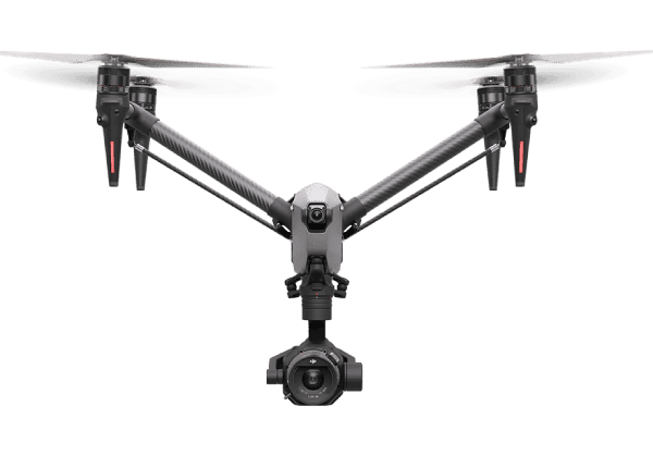
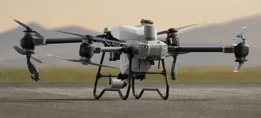
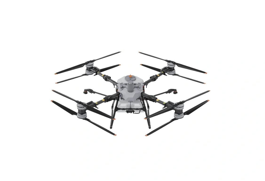
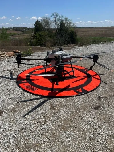
The team operates with FAA Part 107 certified pilots who understand federal aviation rules for commercial drone operations. These certifications allow the company to perform aerial work safely across job sites, farmland, and commercial properties.
Aerial Mapping and Survey Support
Total Drone Solutions provides detailed aerial mapping services that help professionals analyze land and development sites. Drone mapping technology captures high-resolution images that combine into accurate orthomosaic maps. These maps provide a clear overview of terrain, boundaries, and infrastructure.
Engineers and surveyors often use these aerial maps during early project planning. The imagery helps professionals identify elevation changes, drainage patterns, and site access points. This information supports better design decisions and reduces the time required for field surveys.
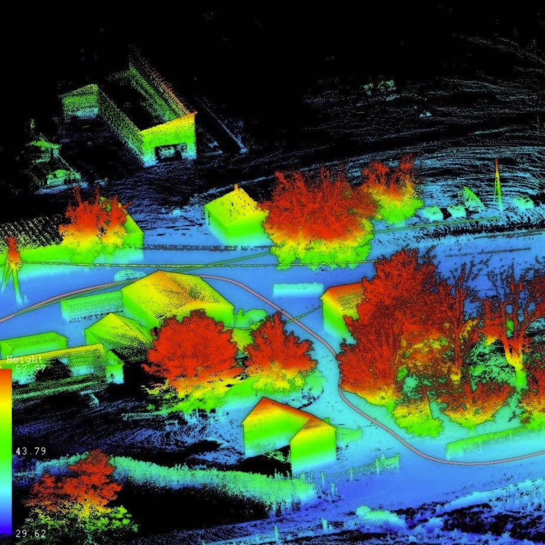
The company also produces 3D models and topographic maps using photogrammetry techniques. These digital models allow project teams to measure distances and analyze terrain conditions. Builders and developers use this data to evaluate construction sites before work begins.
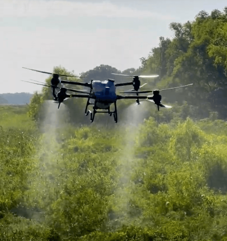
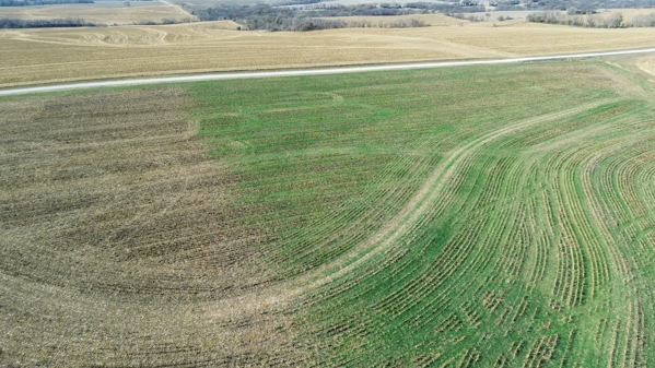
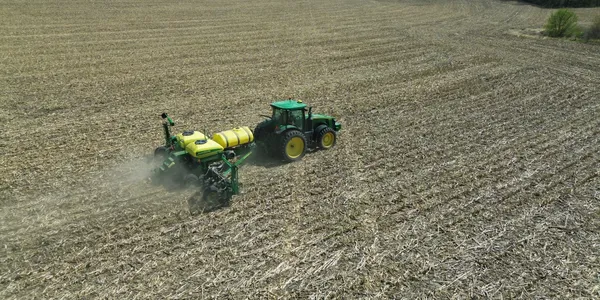
Drone mapping also supports agricultural analysis and land management projects. Farmers can monitor field conditions and irrigation systems using aerial imagery. These insights help agricultural operators improve crop planning and resource management.
Drone Photography and Visual Documentation
Total Drone Solutions also offers professional aerial photography and video services. High-resolution drone images highlight landscapes, buildings, and infrastructure from elevated viewpoints. These perspectives provide visual context that ground photography often cannot capture.
Real estate professionals frequently use aerial photography to showcase property features and surrounding land. Drone imagery helps potential buyers understand property layout and nearby amenities. These visuals often increase interest in property listings.
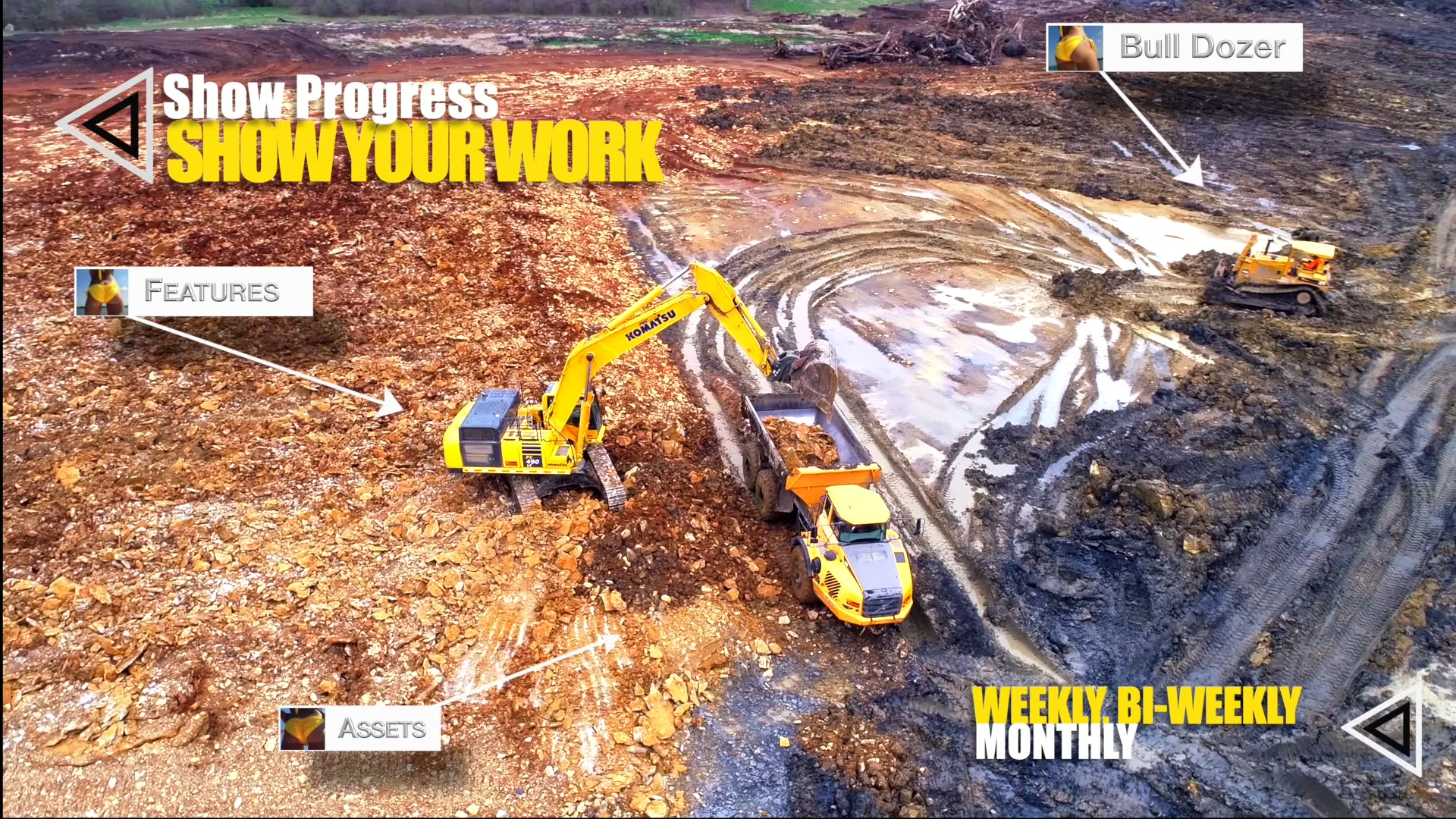
Construction companies also rely on drone imagery to document job site progress. Regular aerial updates create a visual timeline of project development. Project managers use these images to track work stages and communicate with stakeholders.
Businesses can also use aerial video footage in marketing campaigns and promotional media. Smooth drone footage creates engaging visual content for websites and social media.
A Trusted Drone Service Provider in Nebraska
Total Drone Solutions continues to support businesses across Nebraska with reliable drone services. The company combines technical knowledge, aviation safety, and visual creativity to deliver consistent results.
Clients appreciate the company’s attention to detail and clear project communication. Each mission receives careful planning so the final imagery meets the client’s objectives.
Those interested in updates and project examples can visit the company’s
Facebook page, where aerial photography and recent work are often shared.
Through modern drone technology and professional flight operations, Total Drone Solutions helps businesses gather valuable aerial data. The company continues to provide mapping, photography, and aerial documentation services for industries across Nebraska and surrounding regions.
Map
Sorry, no records were found. Please adjust your search criteria and try again.
Sorry, unable to load the Maps API.