Profile
JCL Aerial Services: Professional Drone Photography, Video, and Mapping Solutions
A Modern Drone Service Supporting Businesses and Creators
JCL Aerial Services operates as a professional drone services company that provides aerial imaging, mapping, and video production. The company began operations in 2018 and continues to serve clients across multiple industries. Its services combine aviation knowledge with modern drone technology to deliver clear aerial perspectives.
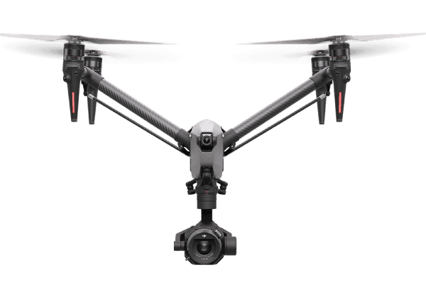
The business focuses on delivering professional imaging for clients who need an accurate view from above. The team uses advanced drones and professional flight techniques to capture photos, videos, and data. These tools allow clients to monitor projects, promote properties, and document events with high-quality aerial visuals.
JCL Aerial Services operates with FAA Part 107 certification and full insurance coverage. This certification allows the company to perform commercial drone operations while maintaining safe flight standards. The company also emphasizes careful planning before every flight. Pilots review airspace restrictions, weather conditions, and project goals before launching a drone.
Clients across many industries rely on the company for dependable aerial content. Real estate professionals, construction firms, marketing teams, and event organizers benefit from drone imagery that reveals details often hidden from ground view. The company focuses on delivering clear results, strong communication, and fast turnaround times.
Aerial Photography and Cinematic Video Production
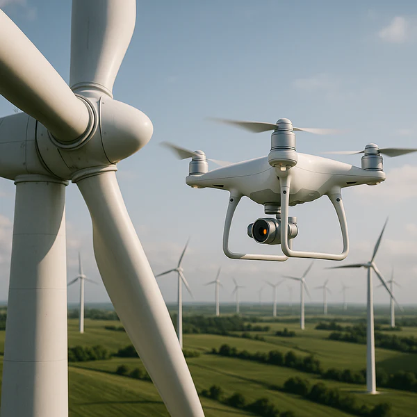
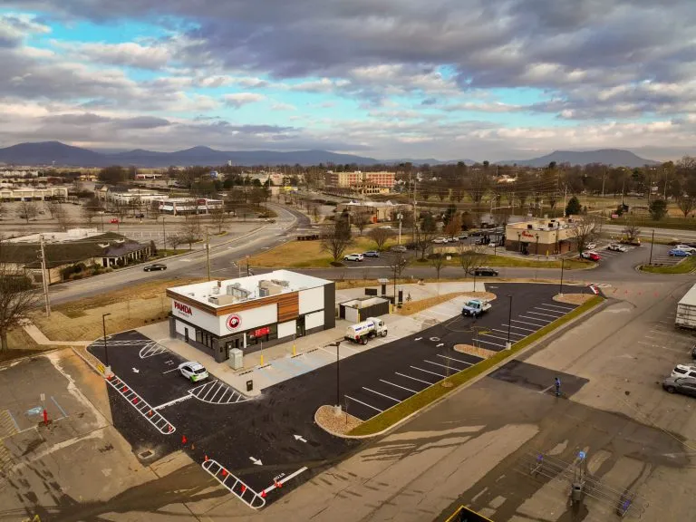
Aerial photography and videography represent core services offered by JCL Aerial Services. The company captures high-resolution drone images that highlight properties, landscapes, and construction sites. These visuals help businesses present projects with greater clarity and impact.
Real estate professionals often use aerial images to showcase property layouts and surrounding features. Drone photography provides a wide perspective that traditional ground photography cannot achieve. These images help potential buyers understand property size and location more easily.
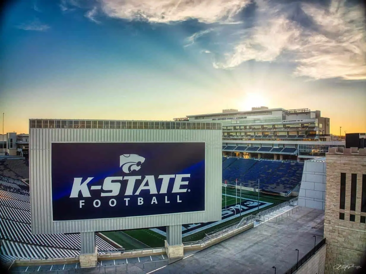
The company also produces cinematic aerial video for marketing campaigns and professional media projects. Filmmakers and production companies often request aerial footage to enhance storytelling. Drone video adds dramatic movement and unique perspectives to commercials, promotional videos, and documentaries.
JCL Aerial Services also offers FPV fly-through tours. FPV drones move through buildings and spaces while capturing smooth continuous footage. This filming style creates immersive videos that guide viewers through a property or location.
Drone Mapping and Construction Project Monitoring
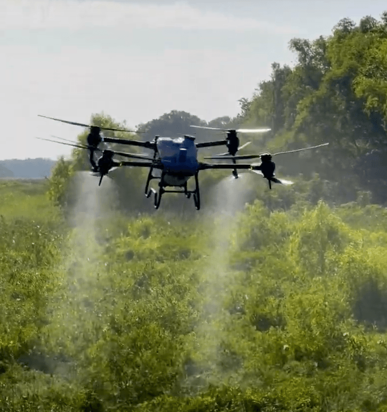
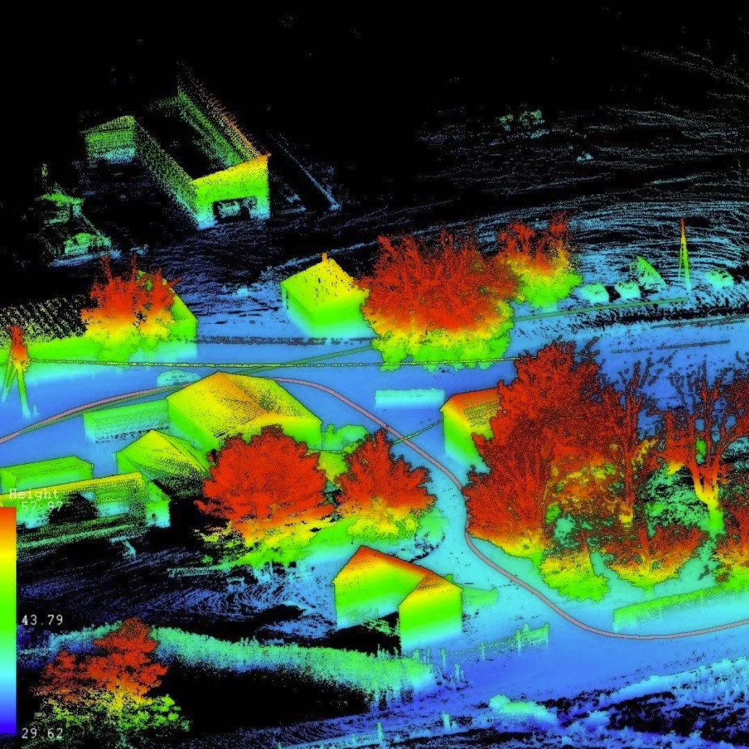
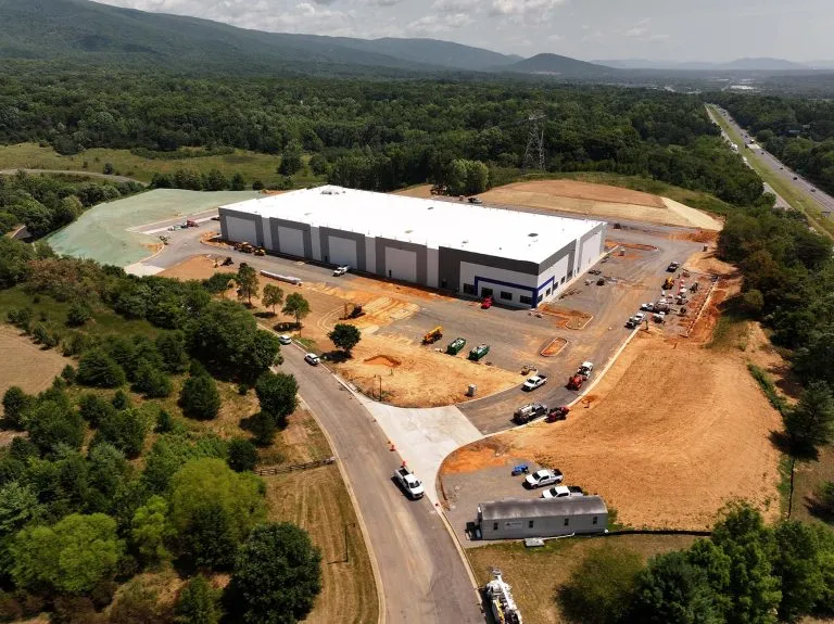
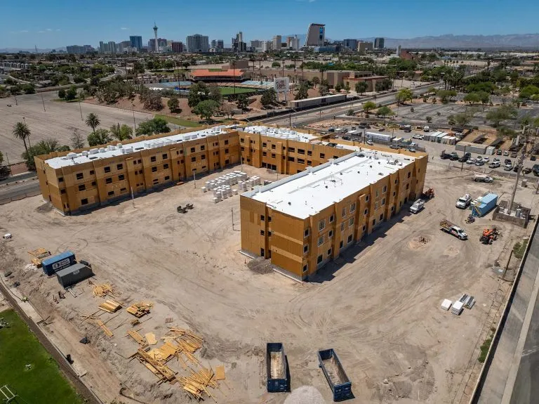
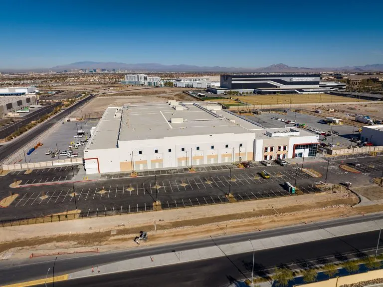
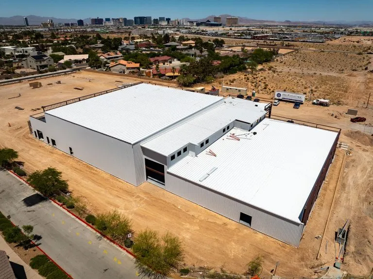
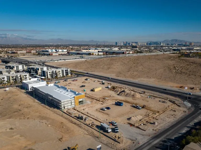
JCL Aerial Services also provides advanced aerial mapping and surveying services. These services use drone imagery to produce accurate maps and digital models. Engineers and project managers use this information to analyze land conditions and plan construction projects.
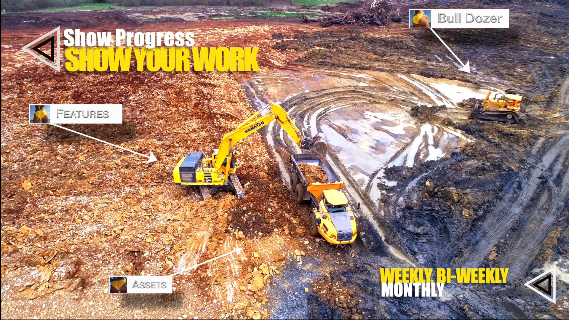
Drone mapping often includes orthomosaic maps and 3D models built from hundreds of aerial images. These maps help teams measure distances, evaluate terrain, and monitor job site development. Project managers also use aerial imagery to track progress and share updates with stakeholders.
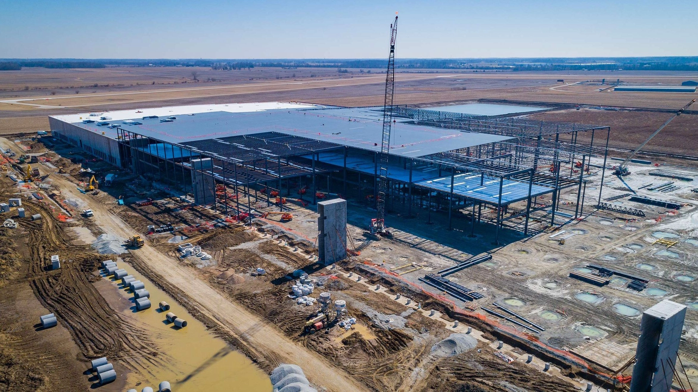
Construction companies benefit from regular aerial updates throughout a project. Weekly or monthly drone flights create visual records that show progress at each stage. These updates improve communication between contractors, investors, and project managers.
Drone inspections also provide safer ways to examine rooftops and structures. Pilots capture detailed imagery that reveals damage, wear, or structural concerns. This approach reduces the need for dangerous manual inspections.
A Nationwide Network of Skilled Drone Pilots
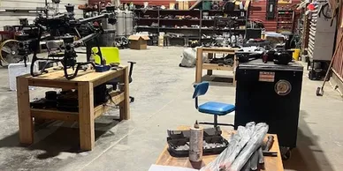
JCL Aerial Services continues to expand its capabilities through a growing network of professional drone pilots. The company collaborates with certified pilots who share the same commitment to quality aerial work. This network allows the business to coordinate drone projects across multiple locations.
Each pilot follows professional flight standards and delivers high-quality footage for clients. The company invests in training and resources that help pilots refine their skills. This investment helps maintain consistent results across all projects.
JCL Aerial Services combines aviation knowledge, modern technology, and creative vision. Through aerial photography, mapping services, and cinematic video production, the company helps businesses view their projects from a new perspective. Its commitment to professional drone services continues to support clients across many industries.


Map
Sorry, no records were found. Please adjust your search criteria and try again.
Sorry, unable to load the Maps API.