
Profile
Dakota Drone Company: Professional Aerial Imaging and Drone Services in Sioux Falls
A Local Drone Service Built on Skill and Precision
Dakota Drone Company operates as a professional aerial imaging and drone service provider in Sioux Falls, South Dakota. The company delivers modern drone solutions that help businesses capture accurate data, promote properties, and document projects from the air. The business focuses on practical results, clear communication, and dependable service for clients across the region.
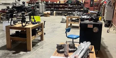
The company began when founder Sam Fettig turned a long-time drone hobby into a professional career. After gaining extensive flight experience, he earned certification as a Part 107 drone pilot and began working with local businesses. His early projects included roof inspections, real estate photography, and construction overviews. Over time, Dakota Drone Company expanded into a full-service drone media provider.
Dakota Drone Company now supports a wide range of industries. Real estate agents, contractors, farmers, and property owners rely on the company for aerial imagery and mapping services. Each project focuses on delivering clear visuals and useful data that help clients make better decisions.
The company emphasizes responsive service and straightforward project planning. Clients can request estimates, discuss project details, and schedule flights with minimal delay. This approach helps customers move quickly from planning to results.
Aerial Media Services for Real Estate and Marketing
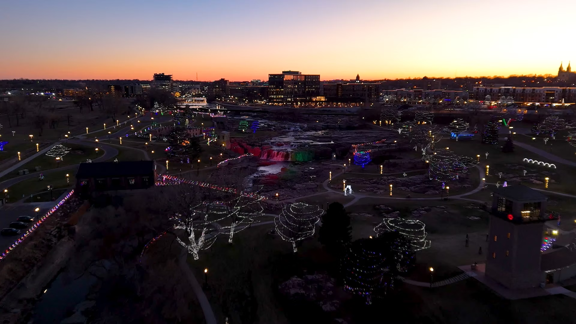
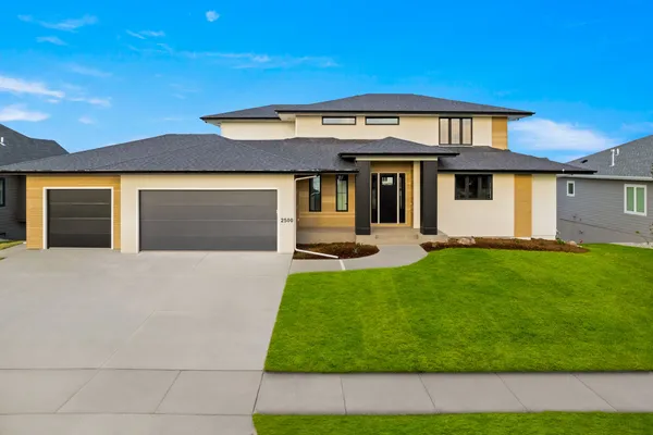
Dakota Drone Company provides professional photography and videography designed to highlight properties and landscapes. High-quality images help real estate listings attract attention online, where most buyers begin their search. The company captures aerial perspectives that reveal property layout, nearby features, and surrounding neighborhoods.
Drone video tours offer another powerful marketing tool. These videos guide viewers through homes and properties while presenting the full environment from above. Real estate agents use these visuals on listing platforms and social media channels to increase engagement.
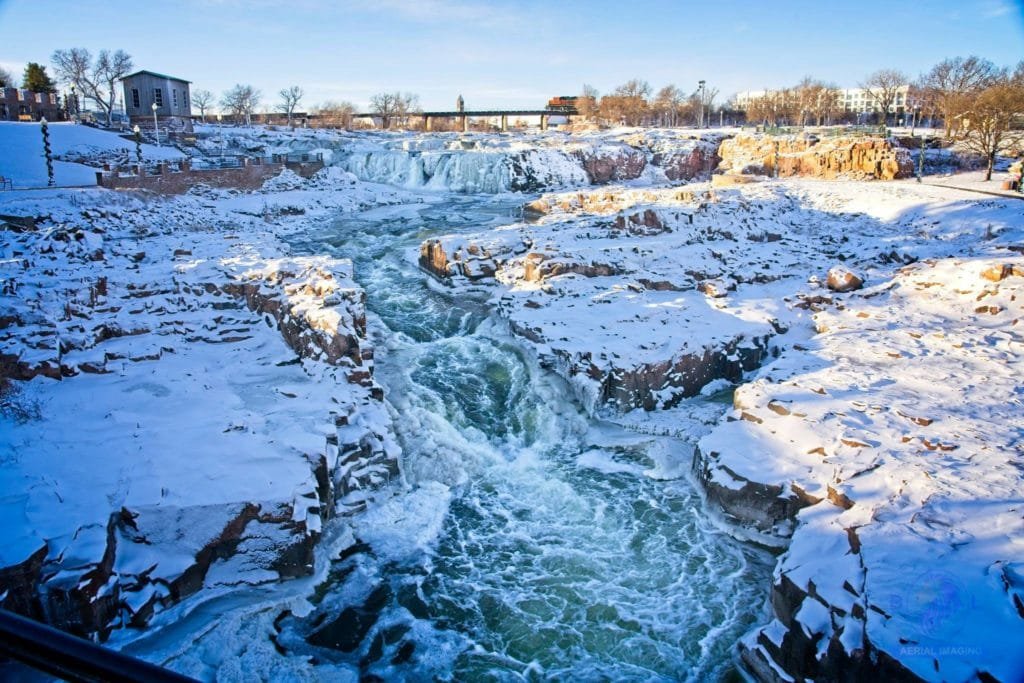
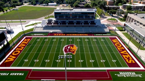
The company also offers landscape photography and marketing videos for businesses. These visuals help companies present locations, facilities, and projects in a professional and compelling way.
Mapping, Inspections, and Industrial Drone Solutions
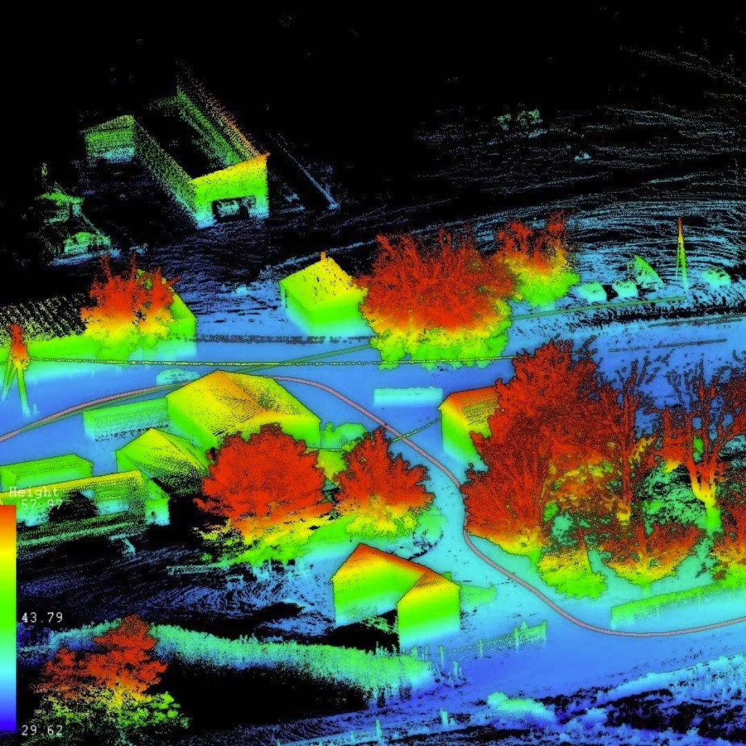
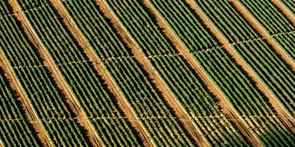
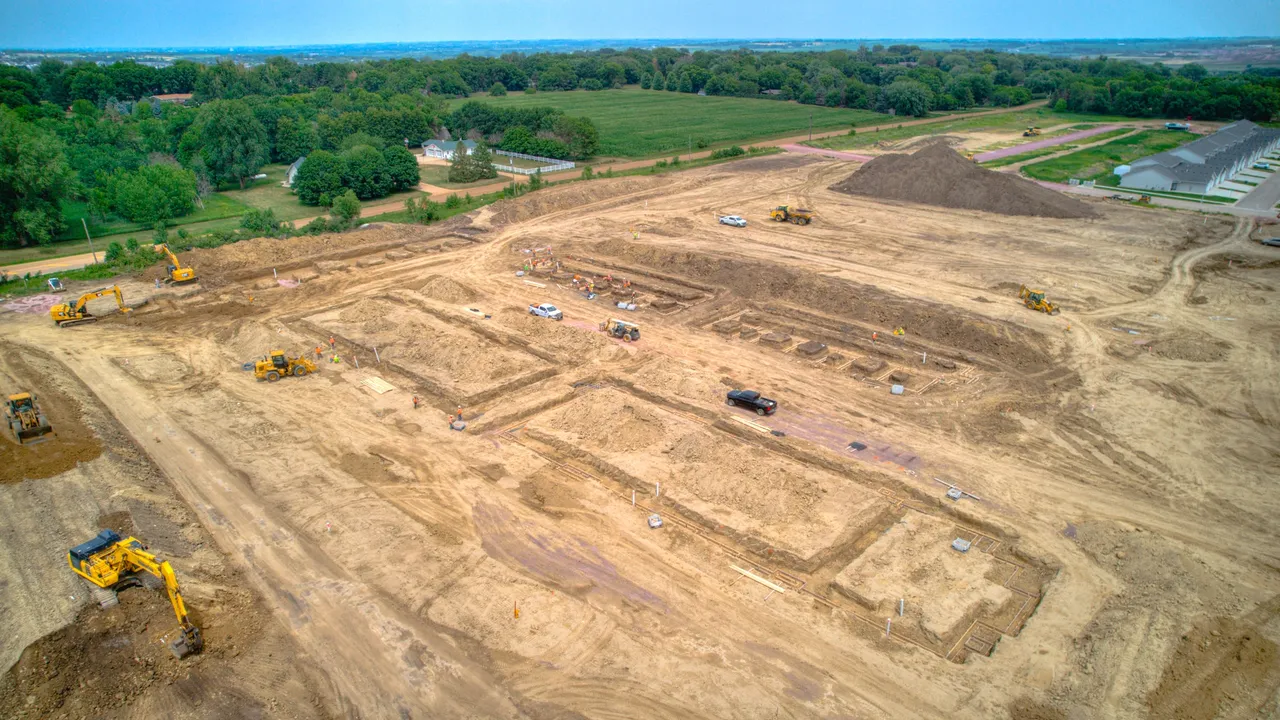
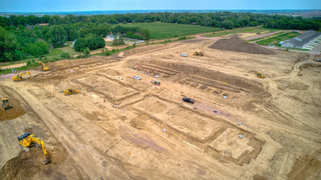
Dakota Drone Company also delivers technical drone services for construction, agriculture, and infrastructure. Drone mapping allows the team to create detailed orthomosaic maps and 3D models from aerial data. These tools help project managers understand site layouts, track progress, and plan future development.
Construction firms use aerial imagery to monitor projects and maintain accurate visual records. Regular drone flights capture updates that project managers can share with investors and stakeholders.
The company also performs roof, solar panel, and insurance inspections. Drones allow inspectors to review difficult or hazardous locations without climbing structures. Thermal imaging technology can detect issues with solar panels and other systems during aerial surveys.
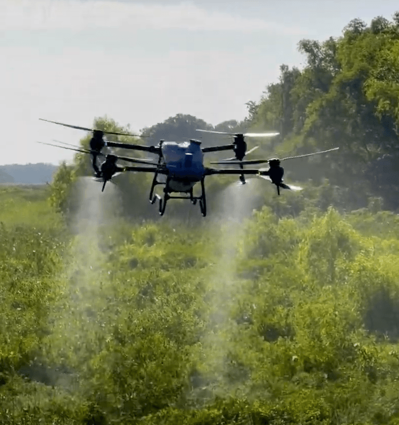
Agricultural clients benefit from drone mapping that evaluates crop health and field conditions. These aerial surveys collect precise data quickly and help farmers identify areas that need attention.
A Growing Drone Service in the Sioux Falls Region
Dakota Drone Company continues to build a reputation for reliable aerial services in eastern South Dakota. The company combines modern drone technology with practical field experience to support many industries. Each project aims to deliver clear imagery, accurate data, and professional results.
From real estate marketing to construction monitoring and agricultural mapping, Dakota Drone Company provides aerial perspectives that help clients see their projects from a new angle. Through skilled piloting, careful planning, and advanced imaging tools, the company helps businesses across the Sioux Falls area capture the value of drone technology.

Map
Sorry, no records were found. Please adjust your search criteria and try again.
Sorry, unable to load the Maps API.