

Profile
Professional Drone Services
Professional Drone Services operates as a commercial aerial photography and cinematography company based near Thompson’s Station, Tennessee. The company provides high-quality drone imaging and video production services for businesses, filmmakers, and development teams. Its experienced pilots combine advanced drone technology with professional camera systems to capture dramatic aerial perspectives.
The company focuses on delivering cinematic aerial footage that supports marketing campaigns, television productions, and construction documentation. Every project begins with detailed planning that aligns the flight strategy with the client’s visual goals. The team manages the entire process from flight preparation to final media delivery.
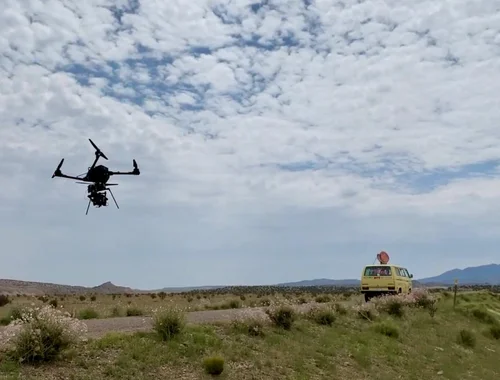
Professional Drone Services operates with FAA Part 107 certified pilots and insured aerial operations. These credentials ensure that every project follows strict aviation safety standards and regulatory requirements. The company deploys drone pilots across Tennessee and can support projects nationwide when needed.
Cinematic Aerial Photography and Video Production
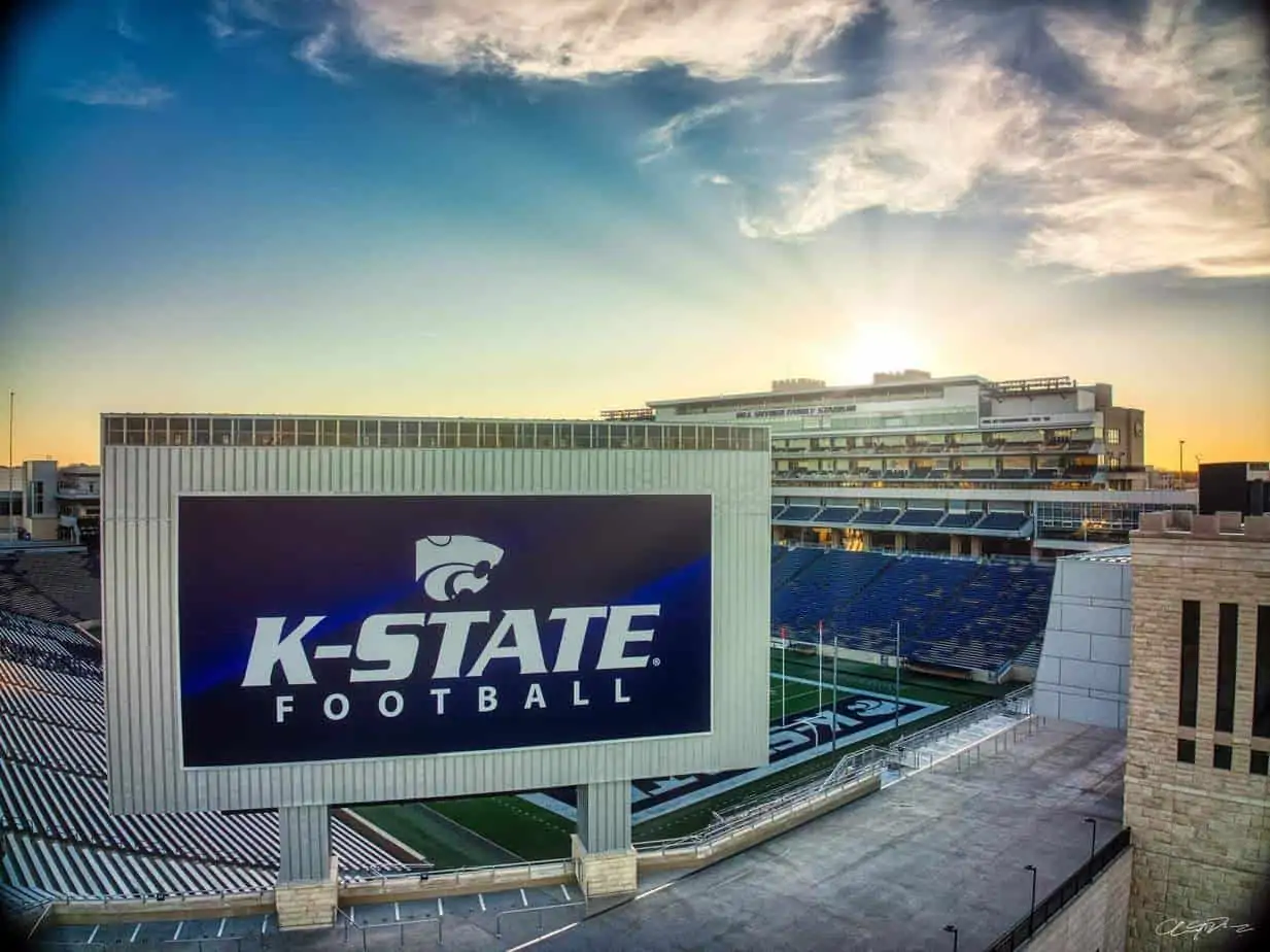
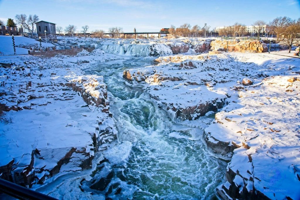
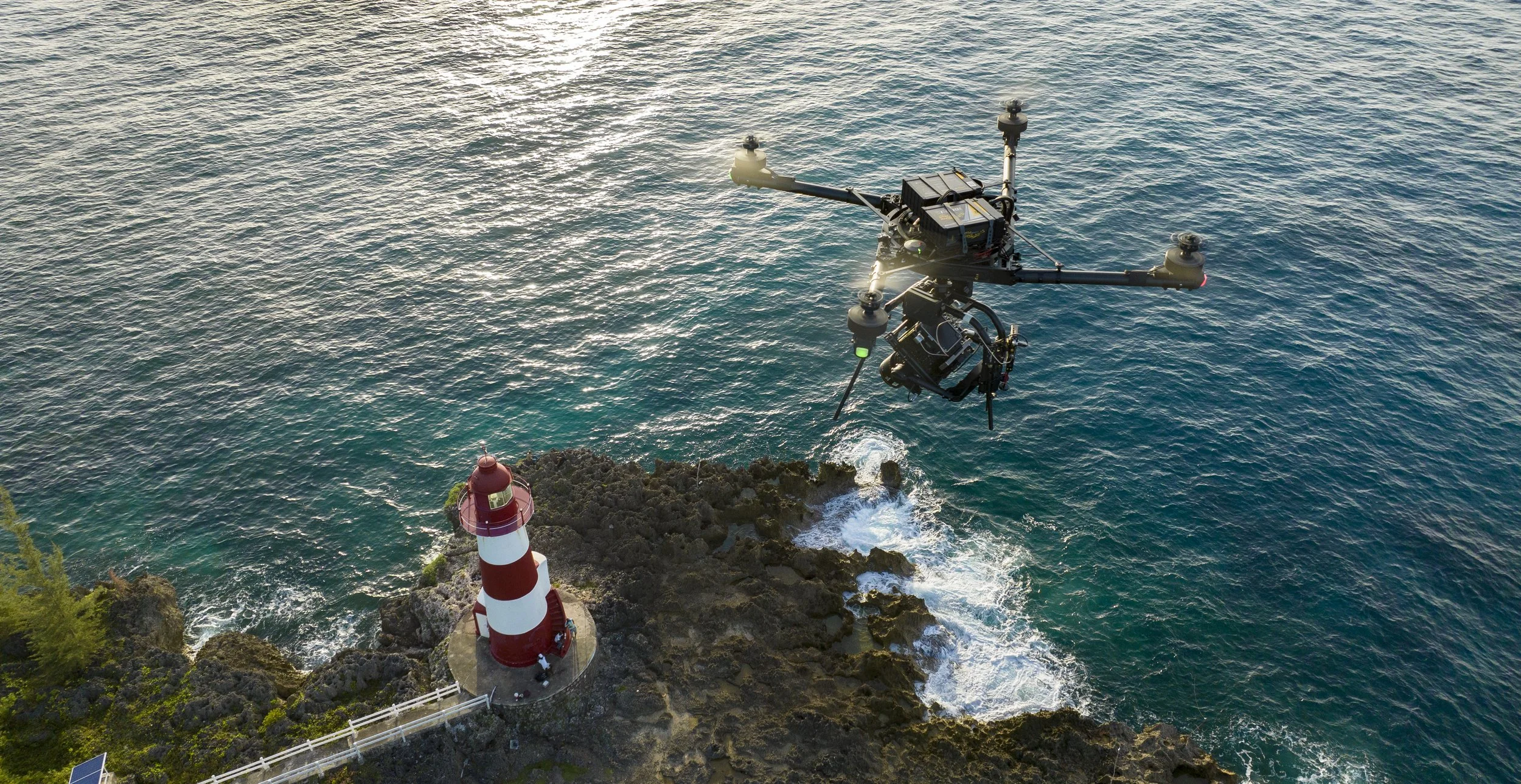
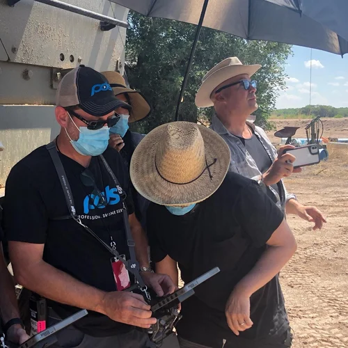
Professional Drone Services specializes in aerial cinematography for film, television, and commercial media production. The team captures smooth tracking shots, sweeping landscape footage, and dramatic aerial sequences. These perspectives enhance storytelling and bring a cinematic quality to visual projects.
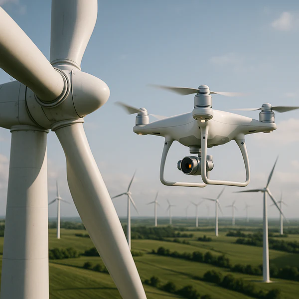
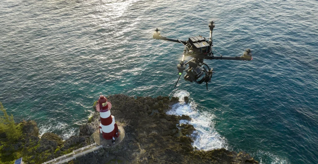
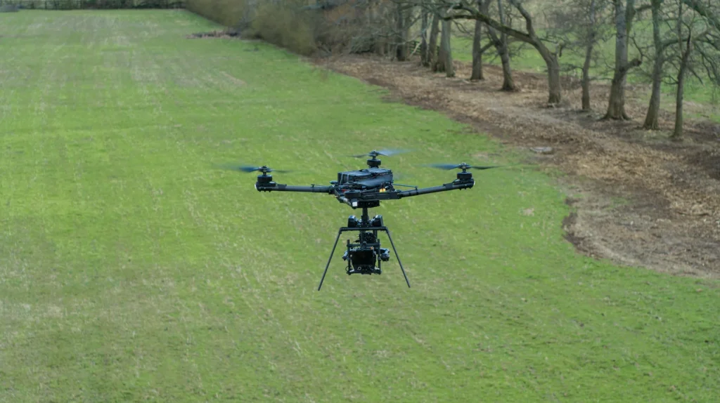
The company uses advanced unmanned aircraft systems equipped with high-definition cameras. These drones capture detailed imagery while maintaining smooth camera movement during flight. Productions benefit from flexible aerial shots that traditional cranes or helicopters cannot easily achieve.
Professional drone operators often work alongside directors and production teams during filming. This collaboration allows the crew to frame each shot precisely and capture the desired visual effect. Many clients use aerial footage to enhance commercials, documentaries, and promotional media. (tnentertainment.com)
For readers who want to understand how commercial drone pilots operate safely under federal regulations, the explains the licensing and safety requirements for commercial drone operations.
Drone Services for Construction and Land Development
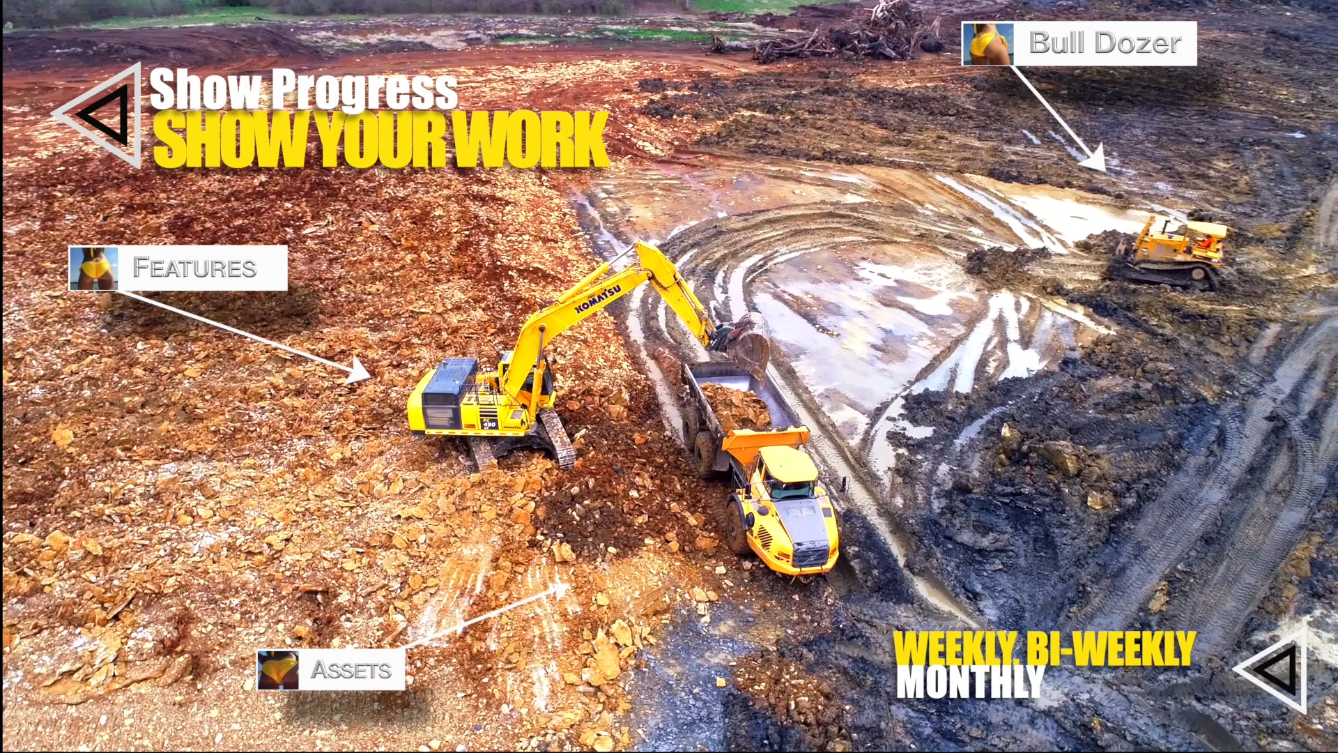
Construction companies often rely on Professional Drone Services to document job site progress. Aerial photography allows project managers to monitor large sites quickly and identify potential challenges. Drone imagery provides a comprehensive view that helps teams evaluate development progress.
Developers also use aerial photography to present projects to investors and stakeholders. High-altitude images show the full layout of a development site and surrounding infrastructure. These visuals communicate project progress clearly to the public and project partners.
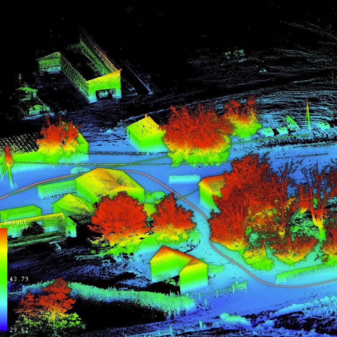
Drone imagery also supports site surveys and planning tasks. Aerial images help teams analyze terrain conditions and evaluate elevation changes. These insights allow engineers and builders to plan construction stages more efficiently.
Experienced Drone Pilots and Professional Equipment
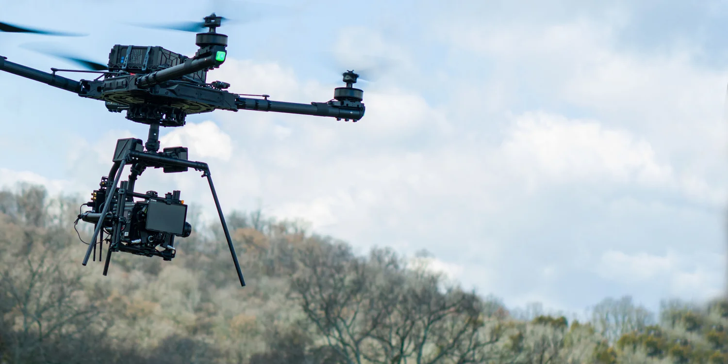
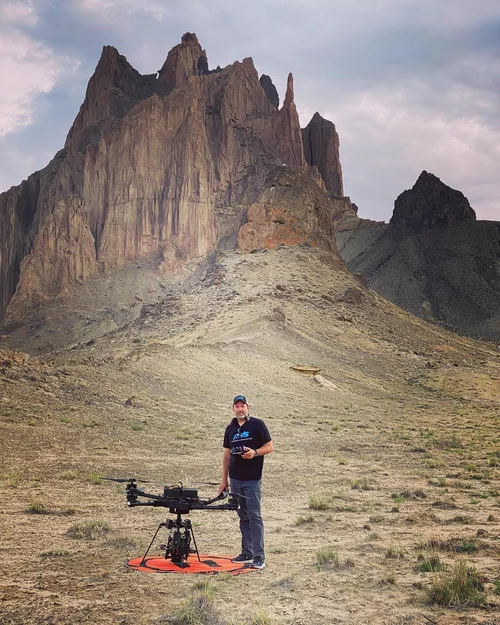
Professional Drone Services relies on experienced drone pilots and camera operators who understand both aviation and filmmaking. Many operators have years of experience capturing aerial imagery in complex environments. Their technical knowledge helps them fly safely while maintaining precise camera control.
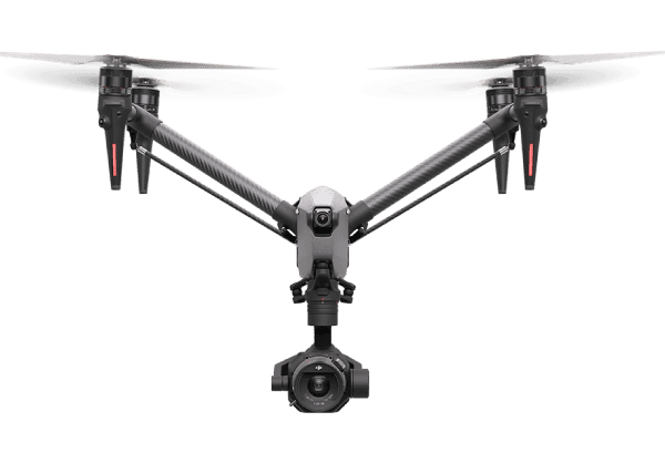
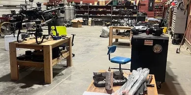
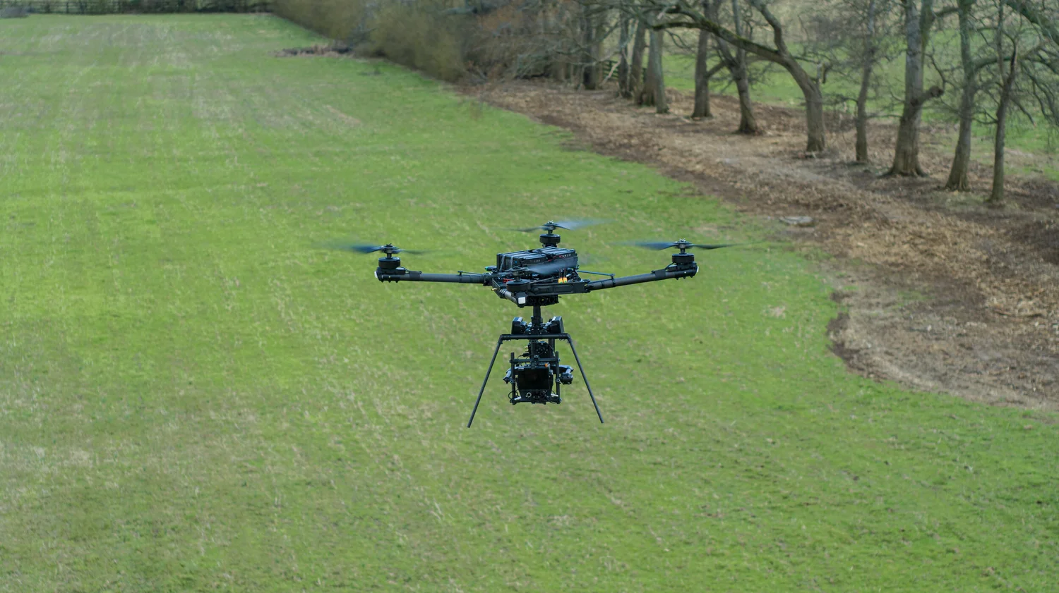
The company uses a fleet of professional drones designed for cinematic production. Equipment may include heavy-lift platforms and advanced camera drones that capture high-resolution footage. These systems allow the team to adapt to different filming conditions and creative requirements.
Professional Drone Services continues to serve businesses, filmmakers, and developers throughout Tennessee and beyond. The company’s commitment to safety, creativity, and technical expertise ensures reliable aerial media for a wide range of industries. Through advanced drone technology and skilled operators, Professional Drone Services helps clients capture powerful visuals from the sky.

Map
Sorry, no records were found. Please adjust your search criteria and try again.
Sorry, unable to load the Maps API.